Durable Environmental Multidisciplinary Monitoring Information Network
DEMMIN
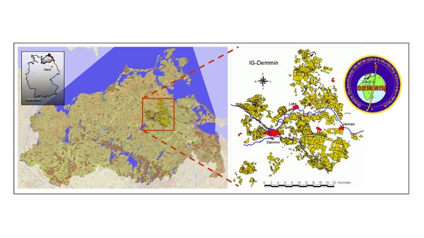
The DEMMIN calibration and validation facility is the fruit of close cooperation since 1999/2000 between the German Aerospace Center (DLR) in Neustrelitz and the Demmin Network (IG Demmin). Both partners are attempting to develop in DEMMIN the preconditions for using remote sensing for science applications in the environmental and agricultural sectors.
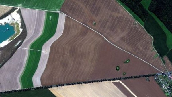
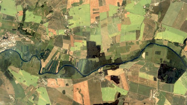
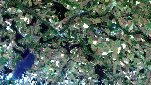
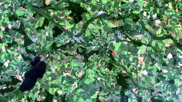
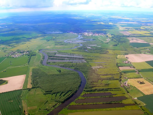
The test site is located some 220 km north of Berlin near the city of Demmin in Mecklenburg- Western Pomerania. This area is intensively used for agriculture and extends from 54°2′54.29″ north, 12°52′17.98″ east to 53°45′40.42″ north, 13°27′49.45″ east.
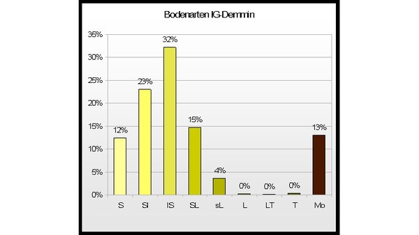
The area cultivated by IG-Demmin (ca. 30,000 ha) is well suited to remote sensing science applications since the site is heterogeneous with respect to landscape, soil cover and hydrology and the average size of the fields, ca. 80 ha, is very high for Germany.
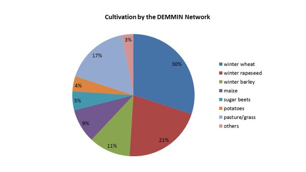
The main crops cultivated are winter wheat, barley, and rye, which cover almost 60% of the fields. The area devoted to sweet corn, sugar beets and potatoes amounts to about 13%.