Team: SAR Topography
The team SAR-Topography focuses on the development and the operation of processors for the generation of standardized image products and subsequent value added products from SAR (Synthetic Aperture Radar) data. For this purpose SAR specific processing techniques are developed, improved, evaluated, and implemented in operational high-performance systems. Finally, these processors generate standardized products as part of national and international missions and projects (e.g. TerraSAR-X, TanDEM-X, RADAR-SAT, SRTM, ERS-1/2).
Further, the team generates and manages Digital Elevation Models (DEM) and develops and evaluates innovative radar-processing techniques for the generation of geo-information products.
Currently, these techniques are applied in cryospheric and hydrospheric research to answer the following questions:
- What information is stored in SAR-data?
- Which roles play the properties of the SAR sensors (frequency, polarization, etc.)?
The Team develops methods and processing techniques for the generation of so called Analysis Ready Data (ARD). These techniques are implemented and integrated into the MultiSAR System. Currently, it comprises ortho-rectification to generate images with high location accuracy (geocoding), radiometric corrections (calibration), polarimetric decomposition, and image standardization routines for the provision of unified and normalized data sets. The polarimetric decomposition is based on the Kennaugh matrix and enables an improved separation of the different backscattering processes. Texture analysis and image segmentation further improve the image classification and change detection. The MultiSAR System was implemented following programming standards and is integrated into the high performance computing cluster at DLR-DFD.
Since many years, the team is gaining expertise is the generation, management, and application of digital elevation models. It participated in the Shuttle Radar Topography Mission (SRTM) and is part of the TanDEM-X mission. The mission’s goal is the generation of a global and high resolution elevation data set. The team is responsible for the calibration and fusion of the single interferometrically processed DEMs to a large area. Currently, techniques are developed for an application specific preparation of the elevation model. This includes the smoothing of rough (=noisy) areas, the elimination of so called “voids” (local disturbances and gaps), the reconstruction of coast- and shorelines, channel delineation, and the substitution of the open sea-surface and – in particular for polar regions – frozen or partially frozen sea-ice covered areas by interpolated geoidal heights.
The different processing techniques described above are utilized for developing SAR based Geo-information products. Partially, this is performed in close and interdisciplinary cooperation with national and international partners. Currently, special interest is given to the application of SAR images and DEMs in cryospheric research and hydrologic modelling. The following examples shall demonstrate this:
Currently, the Arctic ice shields and Antarctica are rapidly reacting on climate change. Mapping the dynamic of the ice shields is an important application for SAR data and DEMs. Melting leads to loss of ice-mass. In Greenland, changes in height reflect approximately 60% of this mass change. TanDEM-X DEMs of Greenland acquired at different winter seasons are analyzed to improve the understanding of the height changes of the second largest ice shield worldwide. However, the interferometrically derived height must be calibrated due to the penetration of SAR signal into snow and ice in order to achieve reliable elevation changes. The team SAR Topography currently develops techniques to estimate and correct this penetration bias.

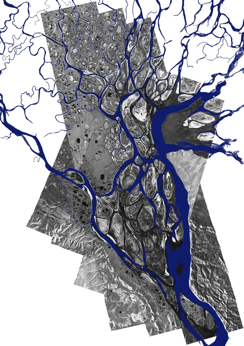
The availability of high precision DEMs is the precondition for hydro-dynamic modelling. The team is working on methods and tools for application specific and optimized pre-processing of elevation models to improve the precision and validity of such modelling approaches. This includes e.g. the elimination of noise values inherent to the SAR-interferometry via edge- and structure-preserving filters. Furthermore, time series of SAR images enable the determination of the temporal variation and dynamic of flooding events which can be used for the calibration and validation of hydro-dynamic models.


