
IKEBANA

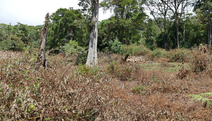
One of the largest drivers for deforestation is the transformation of forest into agricultural areas. By 2030, deforestation shall be eliminated from the delivery chains of agricultural resources according to the New York Forest Declaration by the UN (2014). One proposed measure is to minimize the loss of natural forests by expansion of agriculture land into already degraded areas.
The objective of the project IKEBANA (Interferometrische Kartierung von Waldstrukturveränderungen als Basisinformation für nachhaltige Produktion und Handel von Agrarrohstoffen) is to give a differentiated characterization of the status of the tropical forest by using SAR interferometric methods. The high accuracy and the high geometric resolution of the TanDEM-X data opens the possibility to measure elevation changes over forests that so far has not been possible with space-borne SAR sensors. For this purpose, individual elevation models of the TanDEM-X mission from two different time periods will be exploited: from the global DEM phase (Dec. 2010 to Sept. 2014) and from the current Change DEM phase (Oct. 2017 to approx. Jun. 2020). The main goal is to evaluate the height change in order to derive different classifications of forest condition characterization or forest strata. The project as a whole is suitable for demonstrating the added value of bi-static TanDEM-X SAR images and further enhancing their value.
Funding: Federal Ministry of Economic Affairs and Energy (BMWi) with grant no. 50EE1808B (sub-contract).
Project partner: Airbus, Georg-August-University Göttingen, DLR German Remote Sensing Data Center