UKIS – Environmental and Crisis Information Systems
UKIS (Environmental and Crisis Information Systems) is DLR’s line of development for implementing geoscientific web applications. UKIS has been under development since 2011 at the German Remote Sensing Data Center (DFD) with the aim of making the institute's research in the field of earth observation accessible and usable by means of innovative software systems.
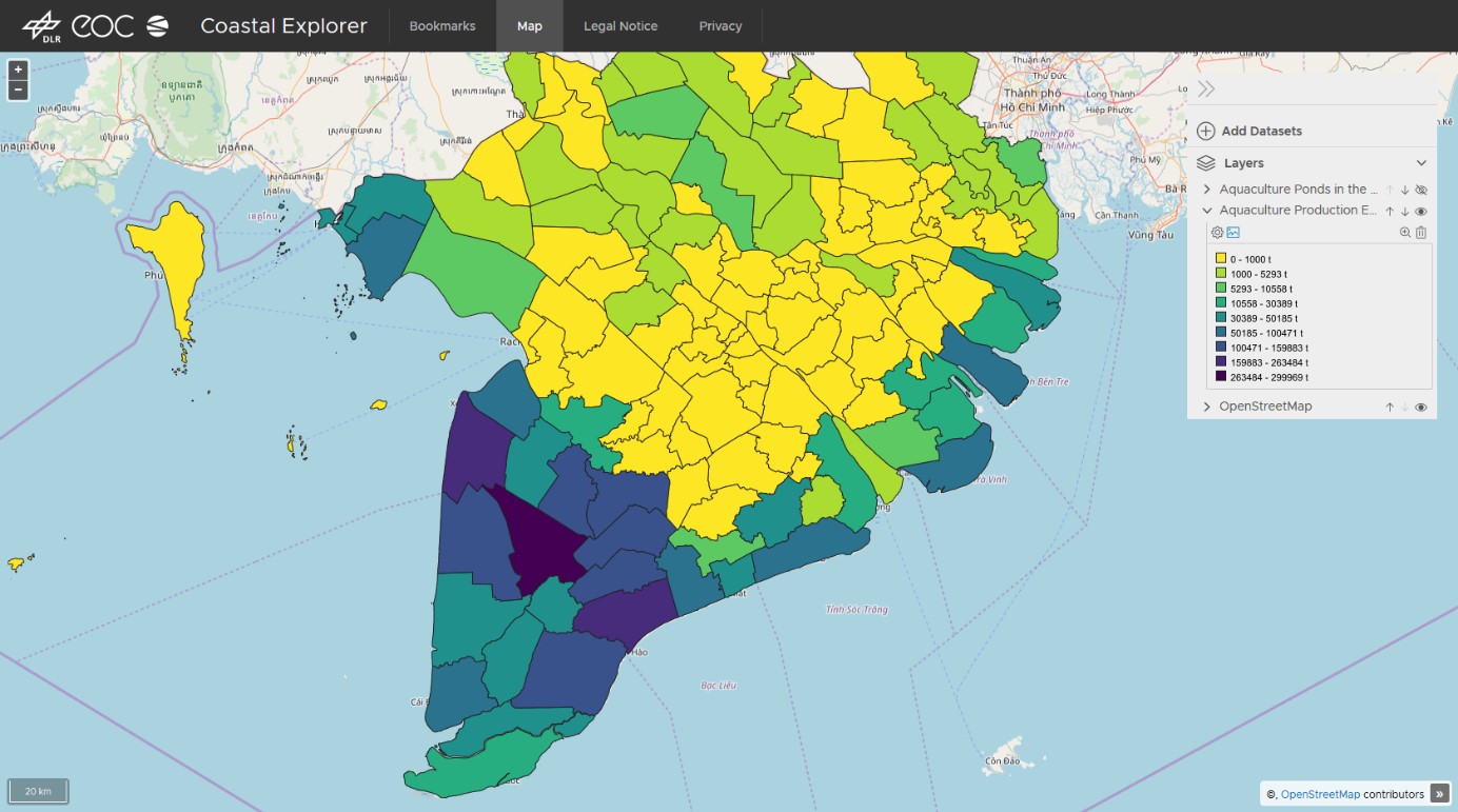
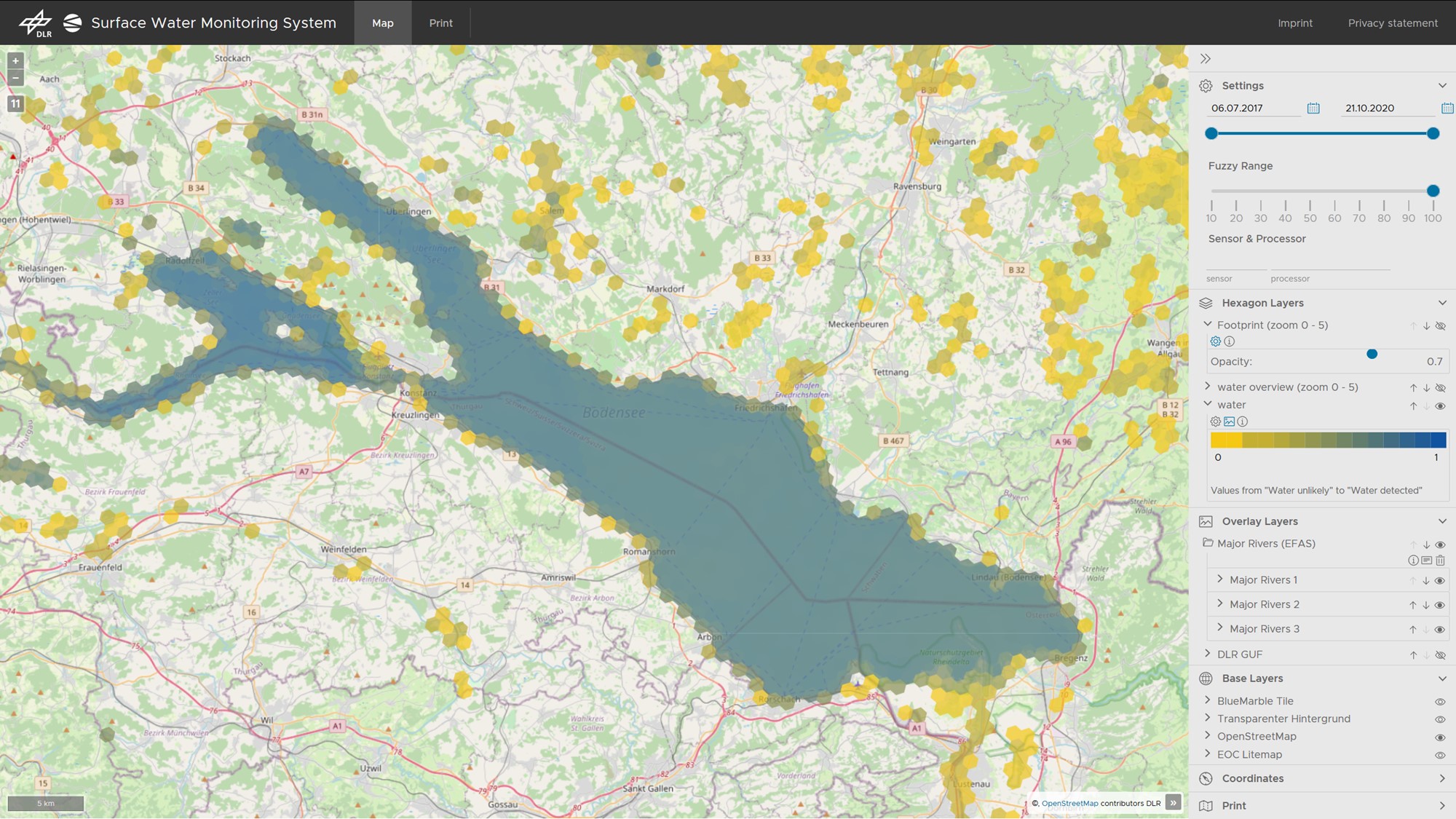
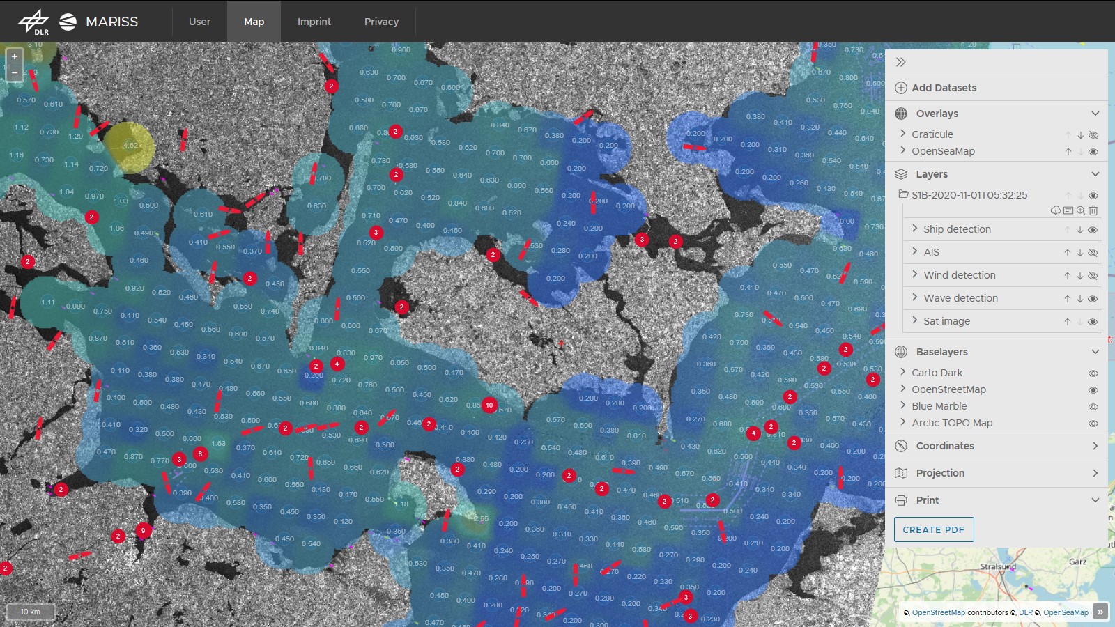
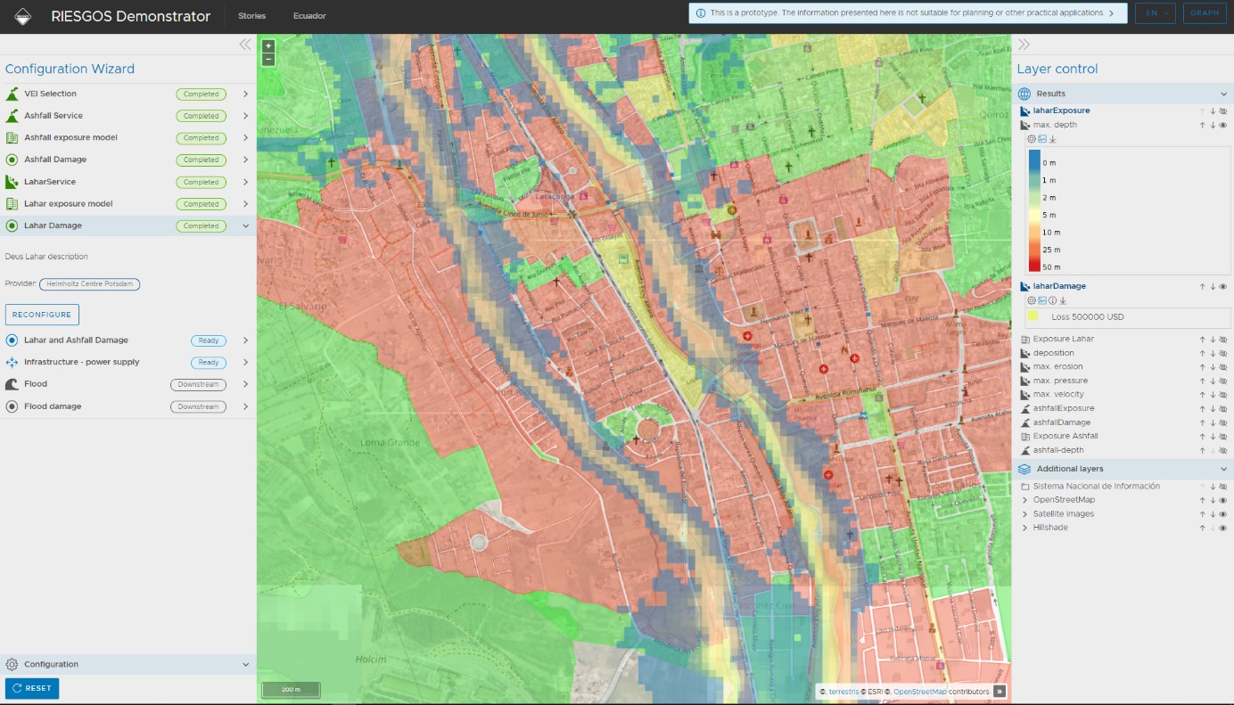
During the development of UKIS, great importance is placed on reusability, modularity and abstraction. Thus, it is possible to create a large number of thematically different systems based on UKIS. Examples of past and current developments are natural hazard warning and information systems (e.g. for floods, forest fires, tsunami), environmental information systems (e.g. snow cover, coastal usage, land cover), information systems in the fields of civil security (e.g. ship detection) and astronomy (e.g. planetary geology), as well as systems for creating video animations from remote sensing data.
In addition to the thematically diverse application possibilities, the advantages of UKIS lie on the one hand in the accelerated software development. UKIS provides a comprehensive foundation for new applications. On the other hand, all UKIS-based systems mutually benefit from innovations in the common software basis.
Technically, UKIS is divided into modules, each with clearly definable tasks. For example, there are modules for importing data into systems, tools for high-performance data management and a web interface for the intuitive analysis and visualization of data. Standardized interfaces allow the modules to communicate with each other.
A variety of UKIS modules is available to the interested public on EOC's GitHub page, such as an extensive collection of libraries for developing geospatial web front ends.
Links


