UKIS – Environmental and Crisis Information Systems
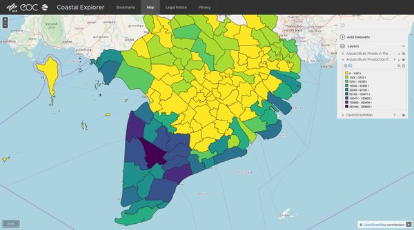
UKIS (Environmental and Crisis Information Systems) is DLR’s line of development for implementing geoscientific web applications. UKIS has been under development since 2011 at the German Remote Sensing Data Center (DFD) with the aim of making the institute's research in the field of earth observation accessible and usable by means of innovative software systems.

