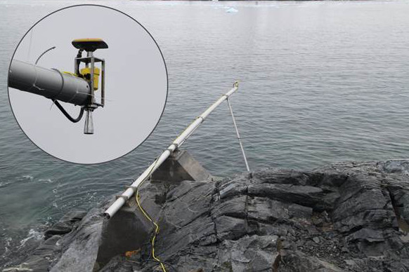
In order to address the problem of inconsistent reference height, a radar sonde was installed in February 2011. However, because of drift ice it can only be operated during the Antarctic summer. A GNSS antenna on the radar sonde establishes a height relationship to the reference ellipsoid, so that the radar and pressure sonde measurements relate to a stable altitude reference system. In addition, the measurement regime makes it possible to distinguish crustal movement from sea level fluctuations


