
Indicator Monitoring for Early Acquisition of Innovative Satellite Sensors in Natural Disasters - IFAS
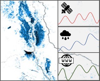

In the case of a crisis event, information, also from remote sensing data, is often available quite late and rarely in high spatial resolution. In order to avoid time delays in the future, an "early triggering" approach is being developed in the project " Indicator Monitoring for Early Acquisition of Innovative Satellite Sensors in Natural Disasters". This includes the automated monitoring of free, heterogeneous data sources for the early detection of crisis situations and the rapid evaluation of available crisis data. Triggering ensures the timely recording of potential crisis areas using innovative, high-resolution sensors at high frequency. The recordings are then combined with other freely available data to derive information products for civil protection and disaster management.
In IFAS, the process of early crisis detection using heterogeneous satellite, geo and web data is being further developed using floods as an example, so that crisis-relevant products can be provided more quickly. The products are tested together with users.

The high-resolution satellite data is provided by the project partner European Space Imaging