
FAIRS – Fast Airborne Situation Assessment
For several years now, the Remote Sensing Technology Institute has been building up expertise in the development and operation of optical airborne camera systems with the aim of automatically processing and evaluating the aerial image data acquired in accordance with the latest scientific findings.
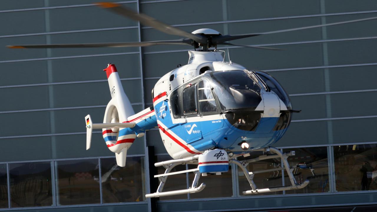
Both the self-developed 3K camera system for various aircraft of the DLR research fleet (Cessna 208B Grand Caravan (D-FDLR), Dornier Do 228-212 (D-CFFU) and Dornier Do 228-101 (D-CODE)), as well as the 4k camera system for DLR helicopters (Eurocopter BO 105 (D-HDDP) and Air-bus Helicopter EC 135 ACT/FHS (D-HFHS)) and external operators of the helicopter type Eurocopter EC135, are regularly used for research missions. In the past, these included mapping of European and nationwide disaster management exercises, traffic and situation observations during major events, as well as situation assessments during natural disasters (floods in North Rhine-Westphalia and Rhineland-Palatinate in 2021, floods in Germany in 2013).

In order to be able to offer these technologies to external operators and customers in the future, the further development of the camera system for helicopters is being funded by DLR Technology Marketing over a period of 2 years in the FAIRS (Fast Airborne Situation Assessment) project.
The overall system consists of the following hardware components:
three Canon 1D-X Mark II cameras with lenses of different focal lengths for ground resolutions of a few centimetres and coverages >1km depending on flight altitude,
- in the future, the camera system can also be equipped with high-quality medium format aerial cameras from the manufacturer PhaseOne (150 MPix per camera)
- a high-end GNSS/IMU navigation system,
- a computer unit with three industrial PCs
- and a data link for direct transmission of images and results (microwave C-band (11MBit/s) and LTE (>20 Mbit/s)).
Depending on the application requirements, the software on board allows for
- different recording modes with adjustable recording frequency,
- high-precision georeferencing of the aerial images in real time,
- the creation of 3D models based on the captured aerial images,
- traffic analysis with information on the number, speed and direction of vehicles and
- and an experimental evaluation of the number of people and the density of crowds.
Project duration: 01.10.2021 - 30.09.2023