Remotely Sensing the Past
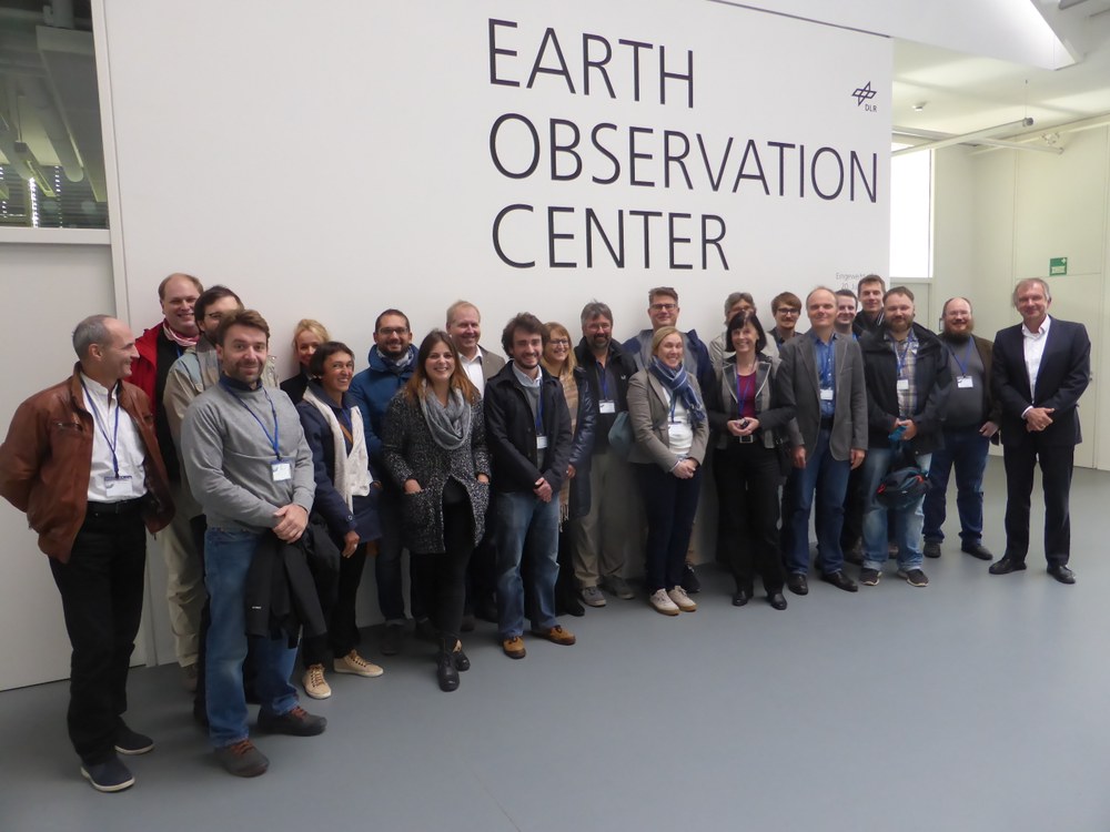
On 13 October 2016 archaeologists from the German Archaeological Institute (DAI) and other scientists involved in archaeological excavations learned about the work of EOC and the potential of remote sensing. This is already the second workshop on this topic in Oberpfaffenhofen. Participants discussed how new data and remote sensing methodologies can facilitate locating and recording archaeological structures. Six specific DAI projects were presented as examples, including landscape archaeology in central Italy, historic terraced landscapes in the Caucasus, and excavations in the central Nile valley. There was particular interest in the mapping of destruction in the antique city of Palmyra in Syria. EOC colleagues from DLR‘s Center for Satellite Based Crisis Information (ZKI) have assisted DAI in the past to record the most recent damage with the help of high-resolution optical satellite data.
In five specialist presentations, EOC scientists described new technologies and data. Some of the work reported related to the current ATHENA project, which is being financed as part of the EU framework programme Horizon 2020. The project goal is to establish a Center of Excellence for remote sensing of the cultural heritage and to develop new earth observation methodologies.
The DAI archaeologists were especially interested in digital elevation models from the TanDEM-X mission and in hyperspectral images of test sites because of their implications for landscape archaeology projects. In the future such areas can be precisely mapped with the help of hyperspectral sensors installed on the multicopters used by EOC.

