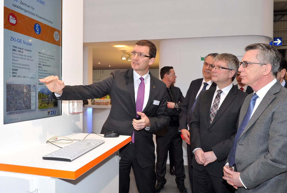
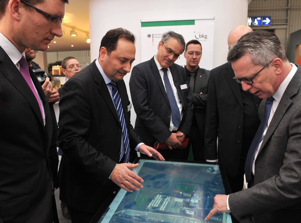
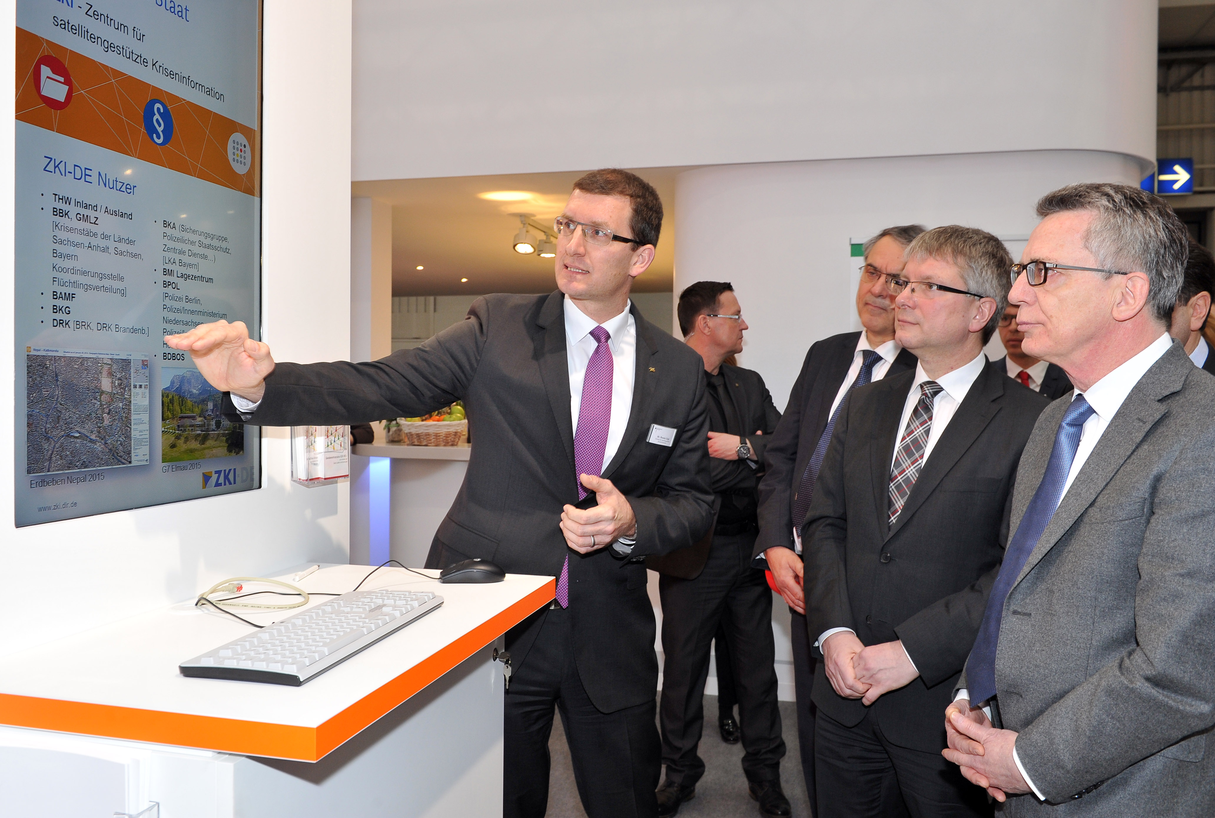
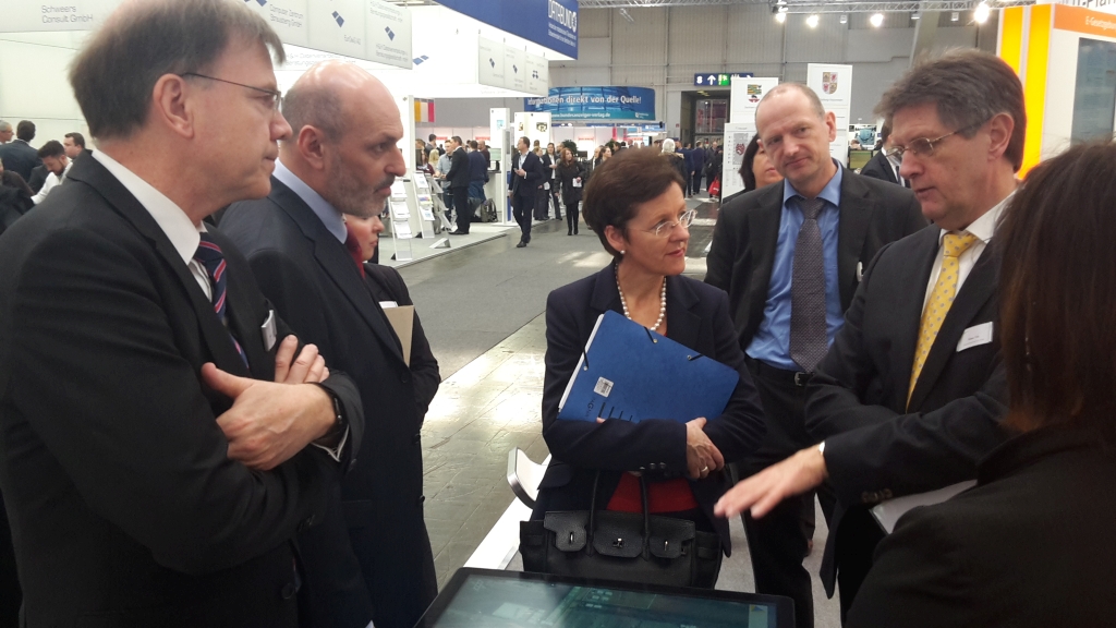
At CeBIT, an information technology trade fair, Minister of the Interior Dr Thomas de Maizière was informed on Tuesday about the work of the Center for Satellite Based Crisis Information (ZKI) of the German Aerospace Center (DLR) and the Federal Agency for Cartography and Geodesy (BKG) at their joint stand. Both institutions are currently supporting federal agencies in managing the refugee situation, and in other activities. ZKI demonstrated at the stand its service for German authorities (ZKI-DE) and showed how earth observation data can aid government offices and rescue teams in emergency situations.
Dr Dennis Göge, DLR security research programme coordinator, and Dr Günter Strunz, head of DFD’s Geo-Risks and Civil Security department, showed Minister de Maizière how ZKI scientists analyse satellite images and which end products for users are generated in the process. Satellite image analyses are an important tool for federal authorities and rescue teams during a relief effort – whether they are dealing with a humanitarian issue, civil security, or a national or international natural disaster. They are used to develop situational awareness, for orientation, and for operational command. One of ZKI’s refugee aid activities was mapping the Al Zaatari refugee camp in Jordan to support Germany's disaster aid organization (THW) and the UN refugee agency (UNHCR).
Growing need for the service
A growing number of inquiries shows that the ZKI-DE service is becoming ever more important. Since the framework agreement between the Federal Ministry of the Interior (BMI) and DLR went into effect in 2013, help from ZKI has been requested 44 times. Since 2015 there have been 23 calls for assistance. ZKI services are available to authorized users as needed around the clock, every day of the year. ZKI also provides training on request and advises a variety of public offices on optimally using the data. In order to make its services more widely available, ZKI tailors its data products to meet specific user requirements. In addition to the civil and disaster response agency THW, users include the German Red Cross (DRK) a non-governmental organisation.
Close collaboration with BMI and emergency aid organisations is one of numerous DLR concerns in the area of security research. “We consider it to be essential that our research has direct benefits for society. Security is one of the important public challenges, and there are many areas in which DLR can contribute”, explains Dr Göge.
The German Aerospace Center’s research and development activities relating to defence and security are planned and carried out in cooperation with public, private, science and international partners. Security research draws on and combines the expertise of all DLR program areas: aeronautics, space, energy and transportation. Over 20 DLR institutes and facilities contribute to the development, testing and evaluation of technologies, systems and concepts and to analysing and assessing security-relevant applications.
The ZKI-BKG presentation is located at the BMI communal space (Hall 7, Stand A58).


