On call: Satellite Data for Emergency Response


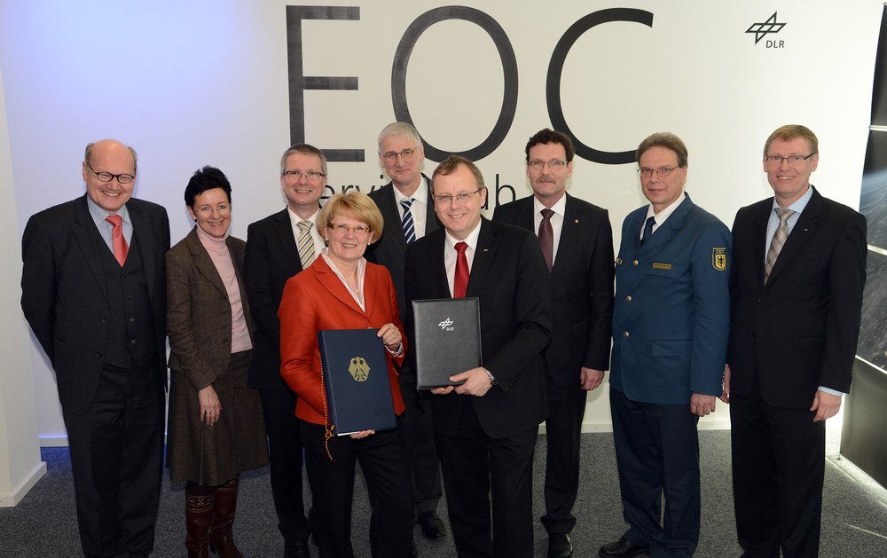
From the research stage to full operation – The Center for Satellite Based Crisis Information (ZKI) is now on call around the clock. This service facility established in 2004 provides up-to-the minute satellite-based maps for activities related to natural and environmental disasters, humanitarian aid, and civil security worldwide. On 22 January 2013 the German Aerospace Center (DLR) in cooperation with the Federal Ministry of the Interior (BMI) officially launched regular ZKI operations.
“Civilian earth observation satellites, like our TerraSAR-X and TanDEM-X radar satellites, continuously supply data of a quality which makes possible entirely new applications. For example, oil films on the ocean, flooded areas, slope collapse and damage to buildings can be mapped from space. ZKI provides these services for institutions like the Federal Office of Civil Protection and Disaster Assistance, Germany's disaster aid organization THW, and the German Red Cross”, according to Prof. Johann-Dietrich Wörner, chairman of the DLR executive board.
In this way, ZKI meets long term the growing need of public authorities for timely geoinformation, especially in the areas of civil protection and emergency services. The satellite-based maps generated for these purposes are made available to the public free of charge.
The first map of a refugee camp in Jordan
“Satellite-based maps can show where risks lurk, simplify logistic planning and thus facilitate rapid response by helpers. Precise planning is vital for the affected population, because timely action is of utmost importance during a crisis. By cooperating with ZKI we want to save time for our rapid response teams as well as support efficient, state-of-the-art planning of emergency operations”, explained BMI State Secretary Cornelia Rogall-Grothe.
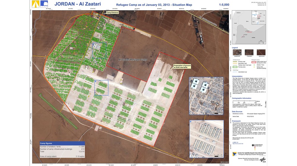
The first request under the framework of the cooperation agreement has already been met by ZKI. Because of the continuing conflict in Syria, over 40,000 refugees have now arrived at Jordan’s Al Zaatari refugee camp and this number grows every day. In early January, heavy rainfall caused flooding and destruction in the camp. In order to precisely document the situation, ZKI immediately prepared on behalf of THW a damage assessment and satellite images for the purpose of optimally coordinating the work of the emergency response teams.

The latest research results
“ZKI is a service of DLR’s German Remote Sensing Data Center. We are the only institution in Germany capable of receiving earth observation data from a wide variety of sources and immediately turning them into information products. That saves valuable time. Since ZKI is embedded in our research environment it is also able to immediately apply our latest developments”, said Prof. Stefan Dech, Director of the German Remote Sensing Data Center (DFD) and spokesman for DLR’s Earth Observation Center, which encompasses DFD and the Remote Sensing Technology Institute.
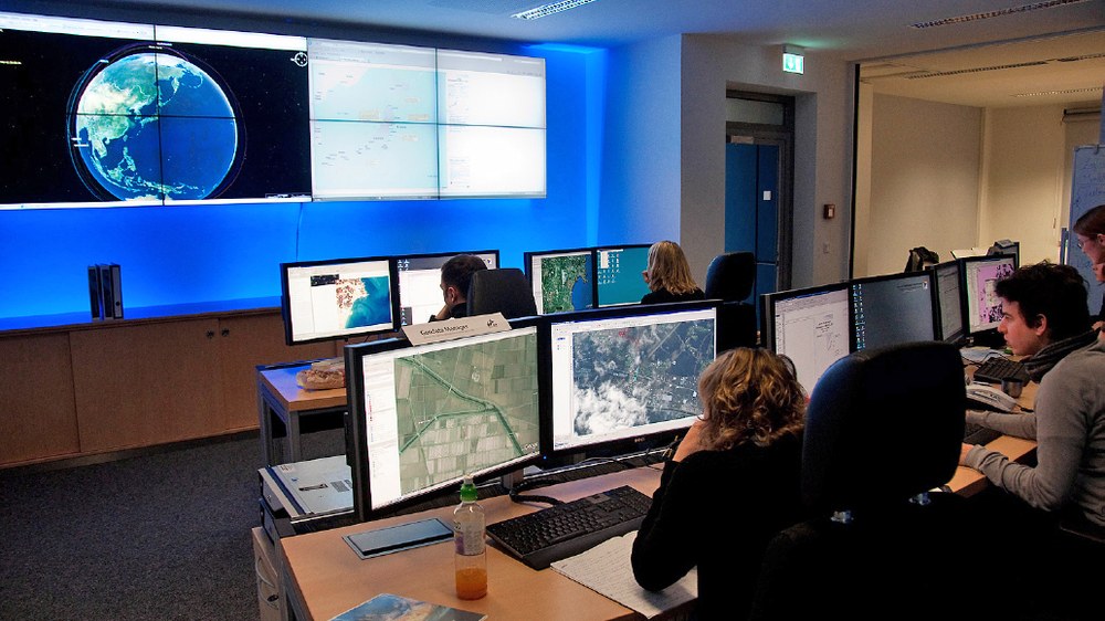
ZKI staff are ready around the clock to obtain, process and analyze satellite data – not only to assist emergency response efforts after civil disasters, but also to prevent and follow-up disasters and to support public administrative duties, like preparing for major events. ZKI also offers training courses and develops remote-sensing-based services tailored to specific needs.
Benefitters of the current framework agreement are national level political decision makers, situation centers and aid organizations. Services can however be made available to other organizations as well, and the first institution has already joined, namely the German Red Cross.

