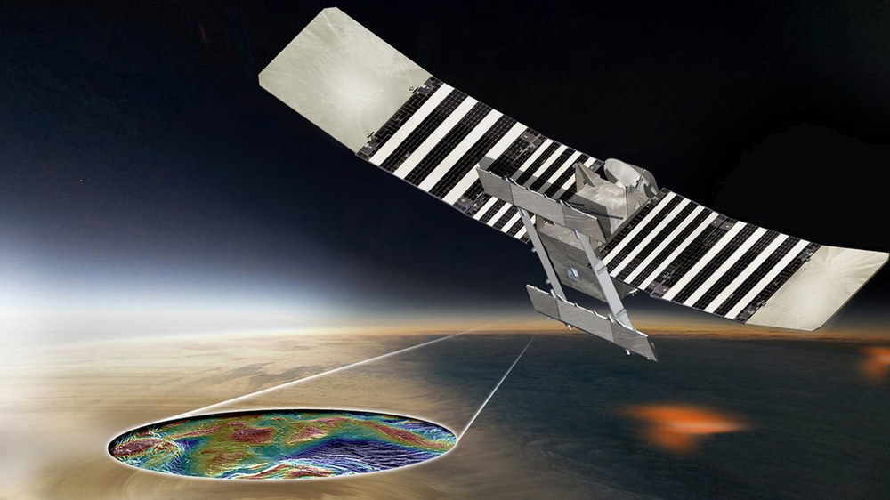
VERITAS
VERITAS (Venus Emissivity, Radio Science, InSAR, Topography, and Spectroscopy) is a discovery program mission from NASA-JPL.
Venus is almost a twin planet of the Earth. Yet, it became a planet impossible to harbor life. Therefore, VERITAS’s goal is to understand the evolution of Venus and what made it so different from the Earth. The combination of radar imagery, near-infrared spectroscopy, and gravity field measurements will provide knowledge of tectonics, impact history, gravity, geochemistry and of the mechanisms of volcanic resurfacing shaping todays Venus.
The mission was approved on June, 2nd 2021, the launch date is not yet fixed but envisioned for 2030-2032 with a mission duration of 3 years. The VISAR (Venus Interferometric SAR) is designed to map the surface of the planet with high resolution and also to enable the generation of deformation maps. The IMF-SAR department will partake to the development of the interferometric ground processor to generate these products starting from images and interferograms produced on-board of the VERITAS probe.

VERITAS is the 3rd cooperation in radar remote sensing with NASA-JPL after the successful SIR-C/X-SAR & SRTM missions. The novelty for the institute is that we will generate high resolution topographic and deformation maps of Venus (based on technology developed for observation of the Earth, especially TanDEM-X). The challenge lies in the very dense atmosphere of the planet and the lack of any reliable reference on ground.
