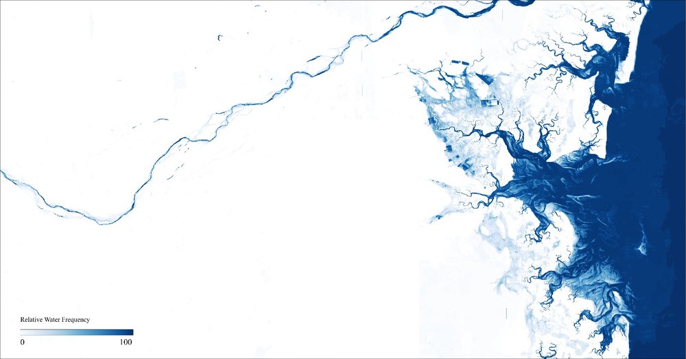
GFSS (Global Flood Service based on Sentinel Data)
Due to their global coverage as well as high spatio-temporal resolution, the European Sentinel satellites offer unprecedented potential for dynamic monitoring of water areas. In order to quickly retrieve relevant information in case of a crisis event, not only intelligent analysis algorithms are needed, but also modern and scalable data processing approaches.
The objective of the GFSS project therefore to improve existing water extent extraction methods based on Sentinel-1 and Sentinel-2 data, to increase automatization of processing pipelines as well as to develop novel analysis tools. As part of the project, cross-platform and cloud-based monitoring systems will be implemented, new techniques for automatized hydrological anomaly detection will be developed and applied case studies in the context of floods and droughts will be carried out.

