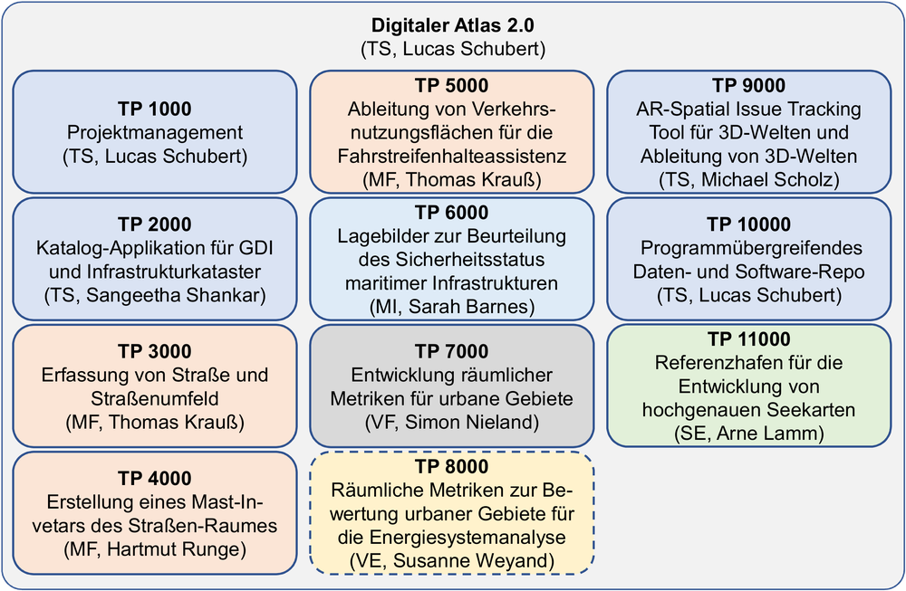
Digitaler Atlas 2
The base funded project Digitaler Atlas 2.0 (DA2) is continuing the work of the „Querschnittsprojekt“ Digitaler Atlas. In this new project the previously developed program spanning tool-chains will be improved and new ones will be developed. New geodata will be generated and stored in the also continuously improved Geo Data Infrastructure (GDI). DA2 is tightly connected to many other base- and third-party funded DLR-projects. It works as a cradle for an improved DLR wide geo data storage, the development of general (geo-) tool-chains and multi-functional rule bases for annotating geodata for machine learning algorithms. Beneath this a demonstrator of a distributed GDI at IMF will be tested. An other main goal of DA2 is bringing together DLR institu-tes and scientists providing and searching geodata. In tight cooperation with other projects like e.g. V&V4NGC the tool-chains will be developed, geodata will be processed and archived.

