Digitaler Atlas
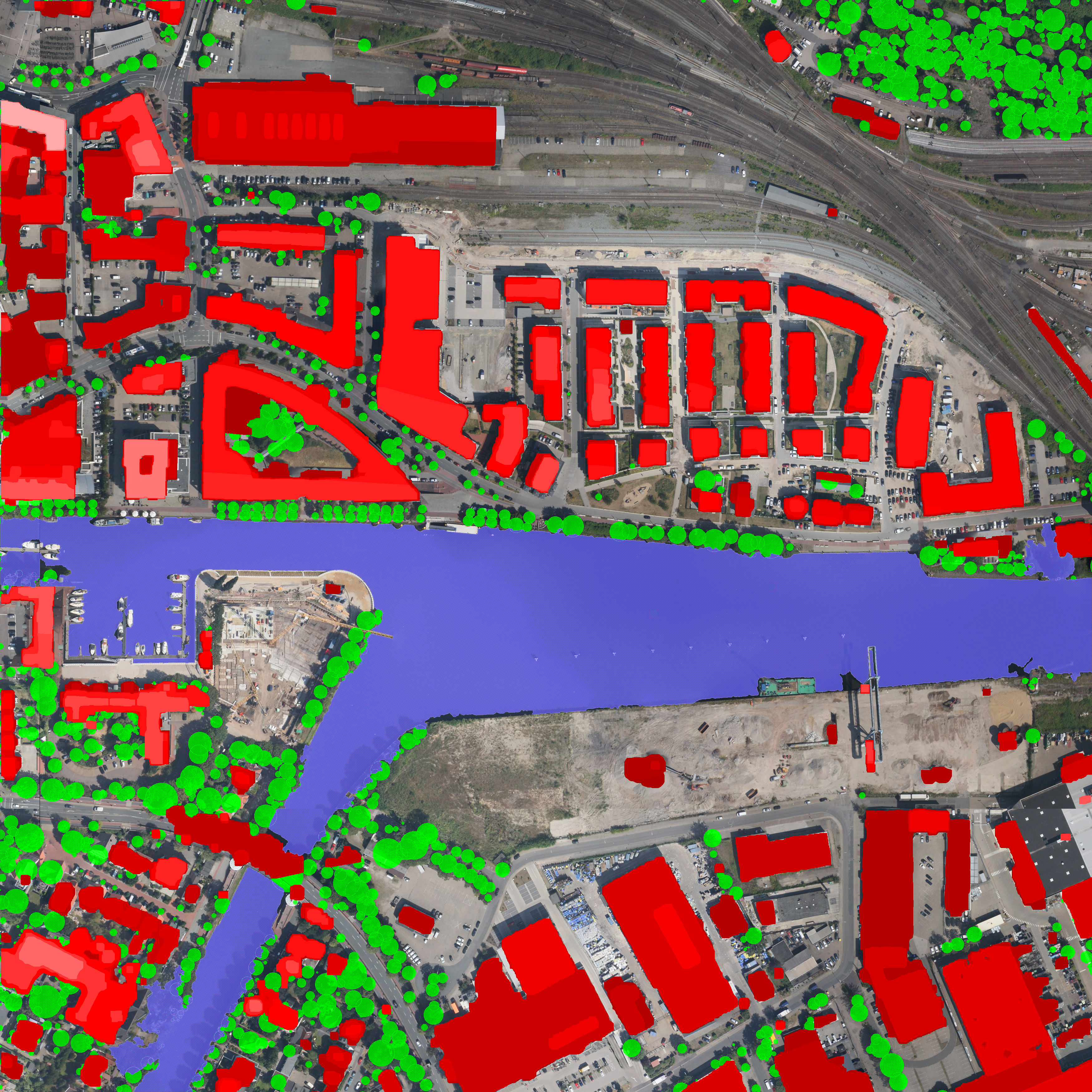
Goal of this cross-section project was the creation of a catalog system and the collection of datasets in a geonetwork for common use and sharing geo-knowledge between different DLR institutes. There were many different application cases like maritime security, energy production and consumption, railway traction and – the topics of MF – detection and extraction of road marks from airborne or satellite imagery, pole-detection and correlation with SAR-GCPs and modeling of buildings, trees, roads and other city objects.

