ACIS
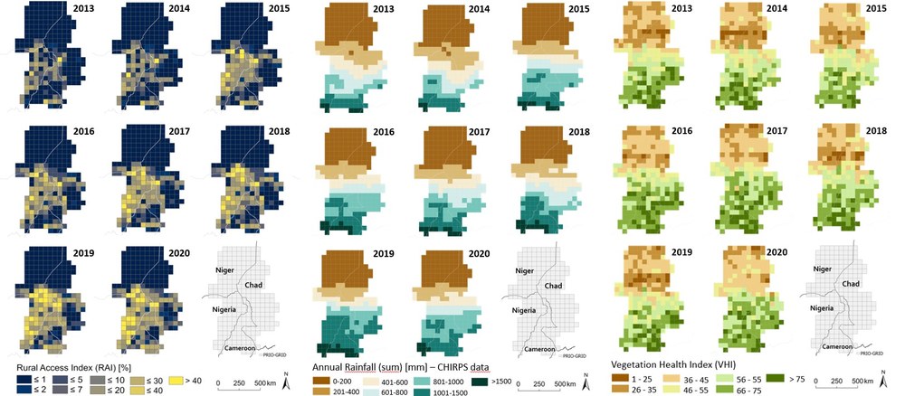
In the ACIS project "Anticipation of Conflicts using Information from Satellites," satellite and geospatial data are being examined for their suitability in predicting conflicts with greater spatial and temporal precision.
So far, conflict models developed for the Foreign Office primarily rely on indicators collected at the national level and at irregular, large intervals of time. Therefore, the DLR-ZKI will investigate which satellite and geospatial data, as well as methods or proxies, are suitable for improving the spatial-temporal aspect of the predictions. Conflict regions and conflict-relevant developments in the Sahel zone will be examined. Anomalies or changes that have the potential to trigger conflicts will also be identified over time using continuously analyzed satellite data.
The availability of timely data for representing crisis indicators is a limiting factor. For many risk factors, data is either not available or has low temporal or spatial resolution, for example, due to high costs or inaccessible areas, as these data often rely on field surveys.

