3D Chemical Transport Modeling
Remote sensing, whether ground-based, aerial, or from satellites, makes it possible to investigate a wide range of parameters associated with the chemistry of the atmosphere, like trace gas concentrations or total ozone columns. However, observations are always limited by the visibility window of the instrument employed. In order to obtain a three-dimensional portrayal of the chemistry of the atmosphere at a given location, so-called 3D chemical transport models are used. To the extent possible, the unknown values in these models are replaced with current measurements or estimates based on previous forecasts. This assures that the models describe the atmosphere as realistically as possible.
At the Earth Observation Center (EOC) work related to model-based remote sensing focuses on dispersion calculations for ground-level pollution and stratospheric ozone.
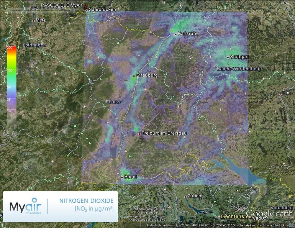
Air quality forecasts predict the concentration and distribution of ground-level pollution, such as dust particles or ozone. Starting with primary sources of pollution like road traffic and prevailing weather conditions (wind, sunshine, or clouds), the concentration and distribution of harmful substances can be calculated for specific locations, regions, or even globally using chemical transport models (CTMs). In contrast to weather models, CTMs take into account the chemical interactions between all atmospheric trace substances known to be relevant. Combining model-based analysis with satellite-based measurements of pollutant distribution (data assimilation) makes it possible to considerably increase the quality of forecasts. How data from satellites can be used to predict atmospheric pollution is being investigated at the EOC. A current example is the threat to air traffic posed by volcanic eruptions: satellite measurements of sulfur dioxide and volcanic ash can be used to improve the quality of early warnings, as has been confirmed by recent EOC studies.
The stratosphere is another target of routine EOC analyses and forecasts employing CTMs. In this case, computer models with global coverage are combined with remote sensing data. The goal is, in particular, to monitor the effectiveness of agreed protocols (Montreal and Kyoto) on protecting the stratospheric ozone layer. Industrially produced chlorine compounds accumulate in the stratosphere and starting in the early 1980s they led to the almost entire destruction of the protective ozone layer during early springtime in the Antarctic. Results show that the chemical disintegration of ozone could be stopped thanks to the protocols, but that recovery of the ozone layer is not evident. This is also illustrated in the figure, which shows the expansion of the Antarctic ozone hole between August and December of the years 2007 to 2010, derived from models. Among the unanswered research questions in this context is the influence of climate change, which delays the recovery of the ozone layer. On behalf of WMO, the ozone information pages of WDC-RSAT provide information about current developments.

