Keeping an eye on Arctic sea ice – the EisKlass2 project delivers rapid sea ice information for shipping in polar areas
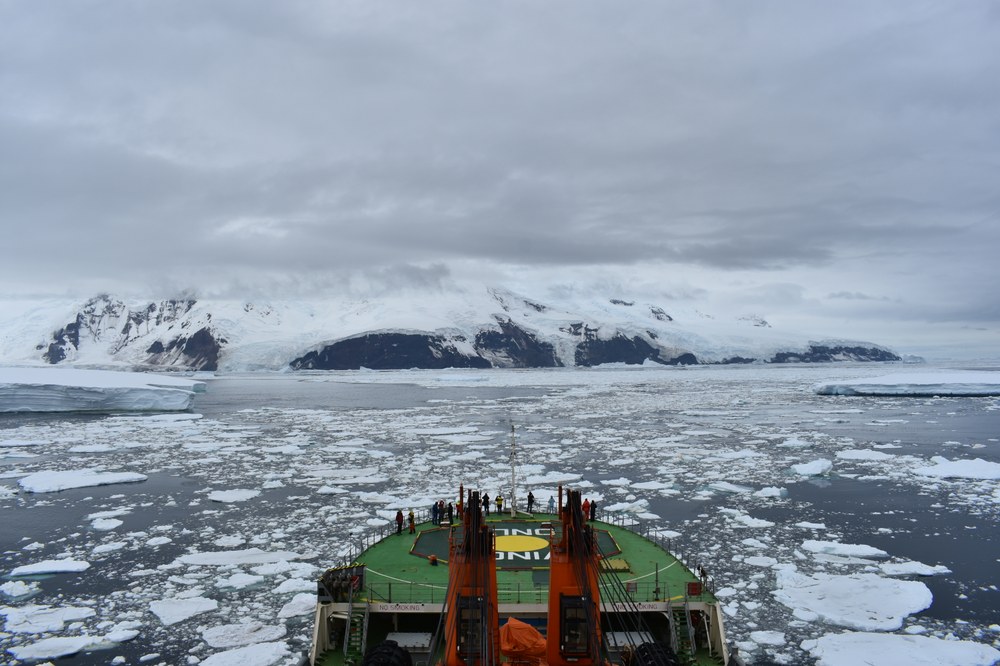
In 2023 the world’s oceans were warmer than ever before and rapid changes are obversed in the Arctic; perennial Arctic sea ice vanishes dramatically, the remaining sea ice cover becomes thinner, clusters of ice floes looser. The Northwest and Northeast Passages through the Arctic are becoming increasingly navigable. These routes attract commercial shippers since they are significantly shorter than the alternatives through the Suez or Panama Canals. But navigation through ice-covered waters is a high-risk undertaking since wind and ocean currents can push together huge masses of ice in a few hours, closing up open water. Pack ice formed in this way is sometimes impassable even for icebreakers.
Under the supervision of the German Aerospace Center (DLR), in the EisKlass2 a prototype application was developed that maps the prevailing sea ice situation and makes this information available in near real-time to ship captains. For this purpose, data from Europe’s Copernicus satellites Sentinel-1 and Sentinel-3 are being used, combined and assessed for the first time with the help of artificial intelligence.
What satellites see
Data from synthetic aperture radar (SAR) satellites like Sentinel-1 show a range of sea ice structures at high resolution and independent of cloud cover, and different ice classes can usually be distinguished by their varying radar backscatter characteristics. Sentinel-3 data provides optical/thermal information about water, ice and snow that permits farther-reaching conclusions and a considerably improved gradation of ice classes. The advantages of both sensors are now being exploited in a combined analysis. Sea ice models such as the Max Planck Institute Ocean Model (MPIOM) and the North Atlantic and Arctic Sea Ice Ocean Model (NAOSIM) of the Alfred Wegener Institute as well as on-site observations and altimeter measurements contribute to a comprehensive validation and analysis of the added value of the combined data. The result is improved mapping of the sea ice situation.
From outer space to the bridge of a ship
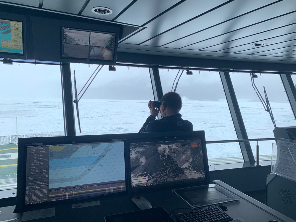
In order to make the data products easily available to users like ship captains, an operational processing chain was developed parallel to the sea ice classification algorithmics. This allows to automatically extract sea ice information from the satellite images and make it available in the shortest possible time via the end-user software IcySea (https://icysea.app). When developing IcySea special attention was paid to seamless integration with the decision-making taking place on the bridge. For that reason, nautical test users were involved already early in the project. The application could thus be adapted to the particular limitations on board a ship, such as the currently still low internet bandwidth in remote polar regions.

Nicolas Vincent
In the course of the project, IcySea was used during several commercial and research ship passages, such as on S.A. Agulhas II during the Endurance22 Expedition, searching for Shackleton’s lost ship. “Without up-to-date ice information, the expedition would probably have lost valuable time that needed to be spent in the pack ice of the Weddell Sea in the search for the wreck. We found the Endurance only after 18 days, just two days before the mandatory return date” reports Dr. Lasse Rabenstein, Chief Scientist of the expedition.
Durch die Implementierung der Eisklassifizierungen aus Eisklass2 in die nutzerfreundliche Endkundensoftware IcySea können Schiffsrouten effizienter geplant werden, wodurch neben Zeit auch Kosten und Emissionen minimiert werden sowie die Sicherheit von Schiff und Besatzung erhöht wird.

Sea ice model studies carried out within the project demonstrate that the data being collected are in the long term a valuable source of information for ongoing climate and environmental research studies.
The EisKlass2 project obtained €1.3 million of financing within the framework of the innovation fund („mFUND“) of the Federal Ministery for Digital and Transport (BMDV) during the project period from June 2020 to November 2023. Participants included in addition to DLR the companies Drift+Noise Polar Services GmbH, Ocean Atmosphere Systems GmbH, Dr. Thomas König & Partner Fernerkundung GbR, and The Inversion Lab Thomas Kaminski Consulting.

About the BMDV mFUND
As part of the mFUND research initiative, the Federal Ministery for Digital and Transport (BMDV) has financed since 2016 research and development projects relating to data-based digital applications for Mobility 4.0. In addition to financial support, mFUND provides various program formats for linking political, science and research parties, as well as access to the Mobilithek data portal. More information is available at www.mfund.de (in german).
Links


