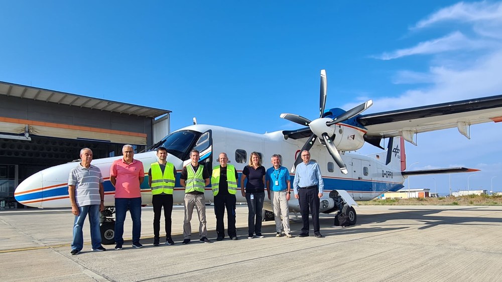
DLR flight campaign over Cyprus
From October 9 - 14, DLR conducted a measurement campaign in Cyprus. On board the DLR research aircraft of type Dornier Do 228-212, the optical 3K camera system developed by DLR, as well as the imaging spectrometer HySpex were used. The measurements are intended to provide information on how climate change is altering agriculture in arid regions such as Cyprus, and how urban temperatures are developing there. In addition, the recordings will be used to find clues to undiscovered archaeological sites. The research was conducted in collaboration with the Eratosthenes Center of Excellence (CoE).
As part of the CERAD campaign (Cyprus flight campaign of the Eratosthenes Center of Excellence and DLR), the DLR research aircraft took off from Paphos airfield in Cyprus on five survey flights. Twelve survey areas were flown, including the World Heritage Site of Choirokoitia and the sunken ports of Paphos and Amathus. At the same time, the Cypriot project partners of the Eratosthenes CoE collected data in the target regions with various ground-based instruments, e.g. handheld spectrometers and radar systems, as well as vehicle-borne temperature and humidity sensors. In addition, the measurements were selectively supplemented by satellite imagery.
The measured values obtained in this way will be analyzed by the participating scientists in the following months in order to derive environmental information, for example. Interest is focused on the condition of terrestrial vegetation, as well as the water quality of reservoirs and coasts. In addition, the images will be used to explore archaeological sites hidden in the sea and to create a three-dimensional model of the city of Limassol. The city model will allow, for example, to simulate the temperature distribution in the city under different environmental conditions. In this way, it will be possible to analyze and predict how future extreme summers will affect residents and plants.
Among other things, the campaign data help to plan urban planning measures to mitigate the effects of global warming. The extensive measurements can also be used by authorities and scientific institutions to model the risks of floods and droughts, as well as yield estimates, plan infrastructure projects and improve the protection of significant archaeological sites.
Thanks to the smooth cooperation of all parties involved and the good support of the authorities, the challenging measurement program was successfully completed despite the ambitious flight schedule.
DLR supports the Eratosthenes Center in the European Teaming project Excelsior (EU-H2020-WIDESPREAD-2018-2020 Grant Agreement No 857510). During its seven-year runtime from 2019 to 2026, a Center of Excellence for satellite and remote sensing in Cyprus will be established. In addition to the Eratosthenes Centre of Excellence and DLR, project partners include NOA (National Observatory of Athens), TROPOS (Leibnitz Institute for Tropospheric Research in Leipzig), DEC (Department of Electronic Communications of the Deputy Ministry of Research, Innovation and Digital Policy, Cyprus), and CUT (Cyprus University of Technology, Cyprus).


