
DESIS data from the ISS now available for science and research!

EOC can now supply data from the first German imaging spectrometer on board the International Space Station (ISS). The purpose of the related Announcement of Opportunity is to initiate the use of DESIS data for basic and applied research as well as for the development and demonstration of future operational applications. DLR has a limited data contingent that will be made available until the end of the mission free of charge for use in implementing the short proposals approved within the framework of the Announcement of Opportunity.
New DESIS images can be ordered via the Teledyne Brown Engineering company's Web platform if a science proposal has been previously submitted to DLR and evaluated. Archived DESIS images can be obtained from the EOWEB GeoPortal without a proposal.
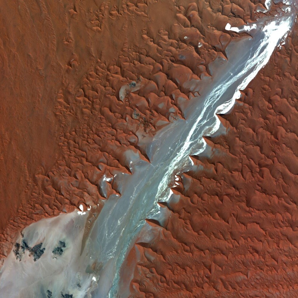
The DESIS spectrometer records solar radiation reflected from the earth in the visible and near-infrared range from 400 to 1000 nanometres in 235 bands. The spatial distribution (ground sampling distance) varies slightly with the ISS flight altitude and at nadir is ca. 30 metres for a swath width of about 30 kilometres. Because of its high spectral scanning rate DESIS can record spectral signatures that vary with the chemical composition and physical structure of the earth's surface. With DESIS measurements it is thus possible to monitor the quality of water bodies, map vegetation types, record vegetation stress, as well as characterize soil mineral resources.
DESIS is jointly operated by the German Aerospace Center (DLR) and Teledyne Brown Engineering (TBE). The pushbroom imaging spectrometer is mounted on a flexible platform developed by this US company and called the "Multi-User-System for Earth Sensing" (MUSES).
More information on the DESIS mission, possible applications, the type and quality of the data products, calibration and validation activities, and the entire procedure for obtaining data can be found via the link at right.