The Shifting Ground Beneath Our Feet – Ground Displacement Map for Germany

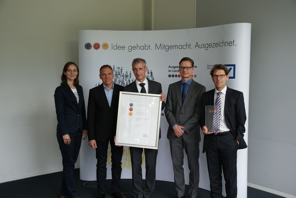
The satellite-based detection of ground movements in the millimetre range is of great importance for the safety of infrastructure and buildings as well as for the early detection of geohazards (landslides, earthquakes, etc.). This is why scientists from the German Aerospace Centre (DLR), the Technical University of Munich (TUM) and the Federal Institute for Geosciences and Natural Resources (BGR) are currently working closely together to develop a "satellite-based ground movement map for Germany". With this innovative idea, the IMF has now been named one of the 100 "Landmarks 2016" in the "Landmarks in the Land of Ideas" competition.
Recording ground movements
The direct measurement of ground subsidence and heave in the millimetre range is made possible by radar interferometry (InSAR). However, analyses for such large areas have only become feasible thanks to the latest generation of radar satellites, such as the European Sentinel-1. Sentinel-1 has a much broader imaging strip than its predecessors and can therefore scan large areas. Four such satellites would ensure an annual update. "This means that short, medium and long-term effects can be measured. This is necessary due to natural and anthropogenic effects - a challenge that we are tackling. We are creating new surveying methods to counter risks to people and property," says Nico Adam, DLR scientist at the Remote Sensing Technology Institute. Typical applications include detecting and measuring the effects of energy storage, geothermal energy, mining, gas and oil extraction as well as volcanic and tectonic movements.
Minimal movements of the earth's surface are measured with fractions of a millimetre from space. Until now, these measurements have been realised individually for small areas at great expense. "However, users of such data have often expressed the desire to regularly observe entire federal states, or the whole of Germany, according to standardised criteria. This is now finally possible." The networking of the BGR with the DLR and the TUM makes it possible to quickly and practically record soil movements throughout Germany on a digital map, analyse their causes and derive recommendations for action.
Users include authorities, local authorities, industry and the general public. Knowledge of the stability of the subsoil offers a wide range of applications for almost all decision-makers who rely on geodata, from spatial and transport route planning to coastal and flood protection.
Successful networking
Thanks to the close cooperation between BGR, DLR and TUM, the mapping could be realised quickly and cost-effectively for large pilot regions.
Under the annual motto "Neighbourhood Innovation - Community as a Model for Success", the location initiative "Germany - Land of Ideas" and Deutsche Bank were looking for projects that showcase the potential of community, cooperation and networking. The cooperation between the three institutions was recognised by the initiative as a model for joint action.
"The soil movement map for the whole of Germany is a unique service in Europe with state-of-the-art surveying technology. It is a flagship project for official users, but also for scientists, engineers and students," says Adam.

