
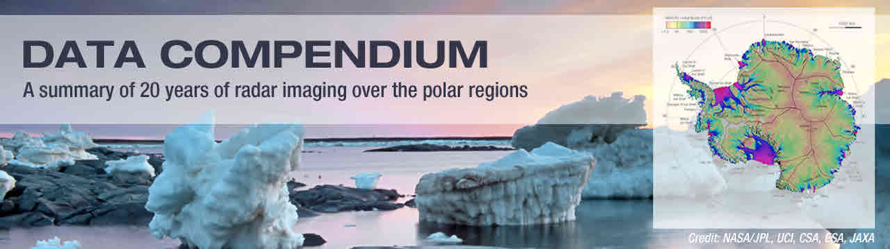
Compendium of Radar Images

Monitoring the Earth’s poles
Although the icy landscapes of the Earth’s polar regions may seem distant to most of us, the scientific community has grown increasingly concerned about the significant warming that is occurring at the poles and has recognized the urgent need to gain a better understanding of current and potential impacts. In fact, it has been observed that the Earth’s poles are experiencing a warming effect at twice the rate of the rest of the world. Such a global issue can only be addressed through scientific leadership, research and collaboration.
In 2011, the World Meteorological Organization established the Polar Space Task Group and its subsidiary Synthetic Aperture Radar Coordination Working Group, with the mandate to better coordinate the collection of satellite radar data over the polar regions. Through the coordinated efforts of representatives from space agencies, international organizations and the scientific community, several thousand images were acquired over a period of more than two decades. This coherent and extensive compilation is one of the richest and most diverse datasets ever generated and it contributes to our understanding of the impact of climate change on the polar regions.
The images are made available to the scientific community to encourage observation, analysis and, hopefully, novel answers to important science questions.
To raise awareness of this initiative, the Polar Space Task Group is releasing a compilation of 20 years of imaging activities that features unprecedented views and insights related to both poles. This Compendium of radar images focuses on four thematic areas: ice sheets, floating ice, permafrost, and snow.
To access the Data Compendium:
http://www.wmo.int/pages/prog/sat/documents/SAT-GEN_PSTG-SAR-CWG-DataCompendium-Apr2016.pdf