Joint Research on the Bavarian Forest National Park


The Bavarian Forest National Park is unique in central Europe. Without human regulatory intervention, natural phenomena like windthrow, insect and fungal infestation, and natural dynamics continuously change the character of this forest. Short- and long-term change over large areas can be adequately monitored and documented only with the help of remote sensing. As of this month, EOC is part of a formal cooperative effort that has the goal of monitoring the national park.
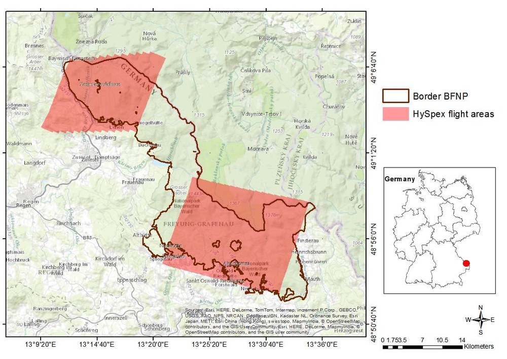
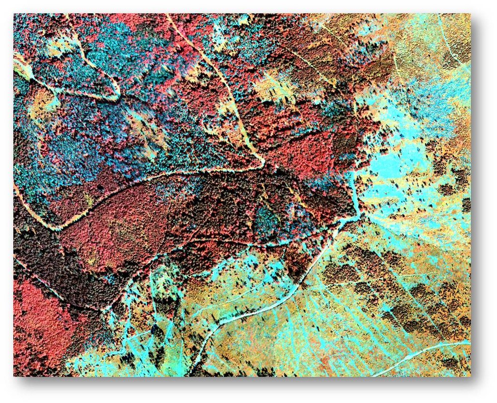
Under the leadership of the national park, experts from various European research institutions have joined forces to systematically establish a remote sensing data pool on the Bavarian Forest as a resource for their research. In April a corresponding cooperation agreement was signed by all parties. EOC is contributing hyperspectral aerial (HySpex), TerraSAR-X, and Spot5Take5 data to the data pool.
With the help of aerial and satellite images, costly terrestrial acquisition of data can be considerably reduced and disruptions to flora and fauna minimized. Overflights to collect aerial images have been conducted annually since 1988. In addition, laser scanning methodologies and hyperspectral data are being used to identify forest structures. An extensive national park GIS and a large archive containing field and laboratory data supplement the images. The topics addressed depend on the needs of the national park administration. For example, the characterisation of forest deadfall and the classification of tree species are of great interest.
This collaborative effort provides an opportunity to combine various methodological approaches and data and to optimize products by sharing knowledge and expertise. This work is also intended to create a basis for additional joint research projects. Cooperation in producing the “Forestry Data Pool” will continue through 2016.
