Observing Agile Octopus
The helpers from the four German states Berlin, Brandenburg, Hesse and Rhineland-Palatinate, most of them volunteers, were practicing for the first time jointly to determine how a large number of injured persons can be given optimal care after a disaster.

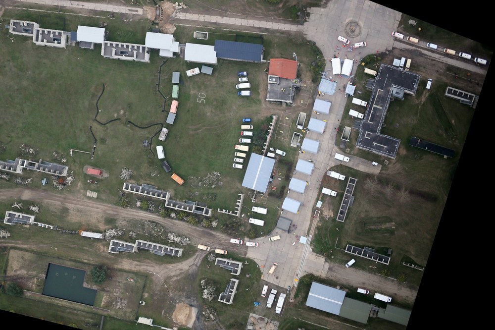
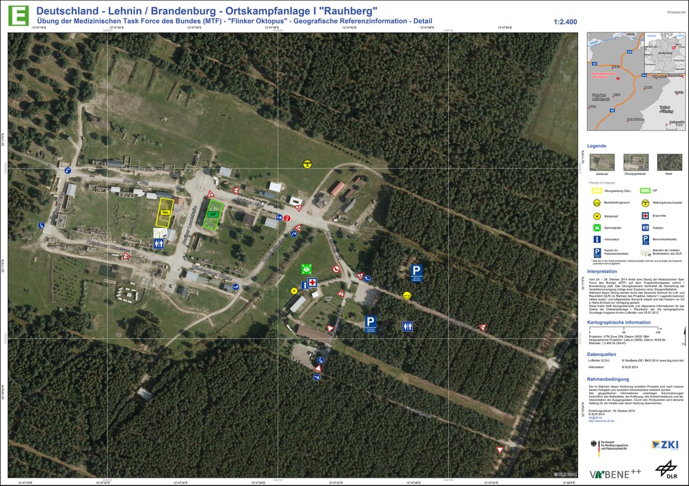
As part of the exercise, components of the VABENE++ project could also be tested. For this purpose, IMF’s 4k System on DLR’s BO 105 research helicopter provided real-time images of the “disaster area” as well as traffic data. These data were directly transferred from the helicopter and immediately made available to the leaders of the exercise via a web portal along with customized maps.
Operation of the 4k system and the receiving station was handled by IMF. DFD made the data available on a web portal, as well as maps. IMF additionally coordinated the DLR team. It included not only the EOC participants but also staff from DLR in Berlin, Braunschweig and Oberpfaffenhofen, all of whom were involved at the site for a total of five days.
“Agile Octopus 2014” was organized by the Federal Office of Civil Protection and Disaster Assistance (BBK). In the VABENE++ project various DLR institutes under the leadership of DLRs Institute of Transportation Systems are developing support tools for public authorities and other organizations when dealing with disasters and mass public events.

