1st Mekong Environmental Symposium in Ho Chi Minh City


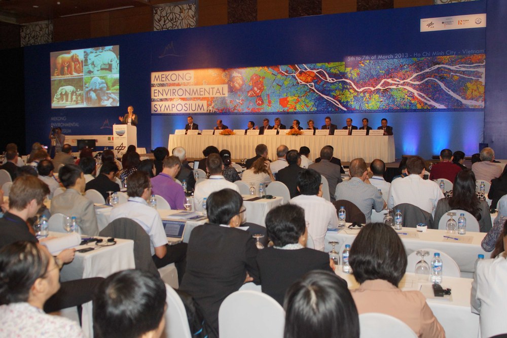
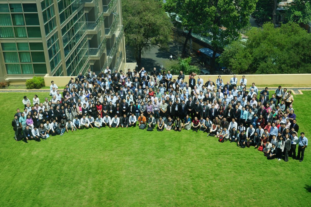
From 5-7 March 2013 over 300 scientists gathered in Ho Chi Minh City, Vietnam, for the 1st Mekong Environmental Symposium. The symposium was organized by DLR‘s German Remote Sensing Data Center (DFD) within the framework of the international WISDOM (Water related Information System for the Sustainable Development of the Mekong Delta) project, which is financed by the Federal Ministry of Education and Research (BMBF) and coordinated by DFD.
Project leader and conference organizer Dr. Claudia Künzer was delighted about the high interest shown by representatives from the region: "It is decisive for this research that scientists from all the countries bordering the Mekong come together to discuss urgent questions associated with the changes in the ecosystem caused by overtaxing the Mekong for energy generation and by increasing pressure due to population settlement in this Asian growth region".
In order to devise sound approaches for local political decision makers, DLR and its project partners in Germany and Vietnam have established an environmental information system. It was handed over at the symposium to the relevant ministries for environment and agriculture in Ho Chi Minh City by BMBF Deputy Minister Wilfried Kraus in a formal ceremony. After the conference Winfried Kraus expressed his satisfaction with this outcome. He stressed that the BMBF regards the WISDOM project as an outstanding example of successful, international scientific collaboration in the area of environment technology development: creating valuable preconditions for the sustainable use of natural resources in an area of great relevance for Southeast Asia.
As its contribution to the project, DLR developed the information system for the Mekong Delta and equipped it with relevant satellite remote sensing parameters. This makes it possible for the system to depict the most important dynamic processes related to land use (such as seasonal flooding, agricultural crops, urban growth, water ecology, civil security) as a basis for decisions at the management level.
Professor Stefan Dech, Director of the German Remote Sensing Data Center, emphasized on the occasion of the symposium in Ho Chi Minh City that it is the integration in geoinformation systems of different information levels based on remote sensing data which will make possible long-term use of this technology: "Our goal is to produce reliable and continuously available time series of remote sensing data documenting the most important processes of change, to ensure lasting usefulness. For this reason it is crucial that, besides assuring data availability, suitable tools are developed for extracting and analyzing information helpful for the user. What we have created for Vietnam needs to be expanded in the future to include the entire Mekong catchment area, and in addition to the information since proven to be useful, decision support components also need to be provided both for management at the cross-border level and for community decision makers.”
