
During expedition to northeast Siberia DLR takes a close look at greenhouse gases released by melting permafrost

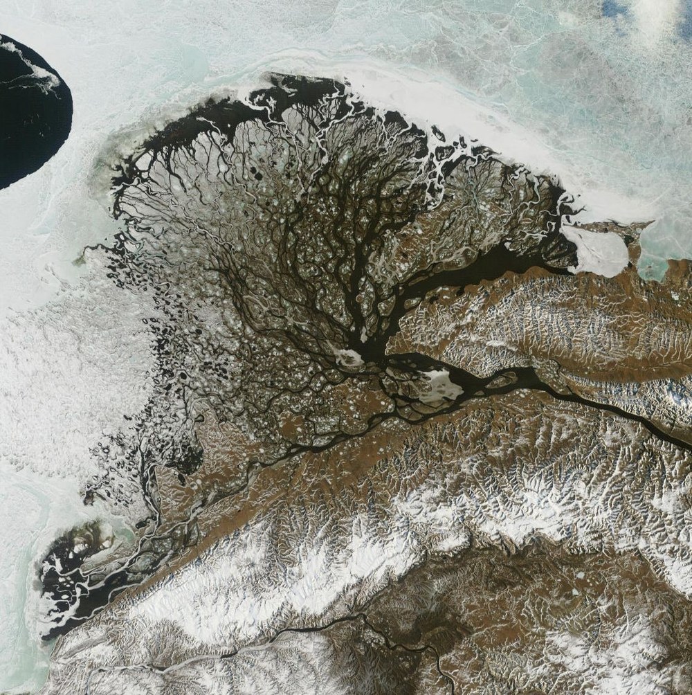
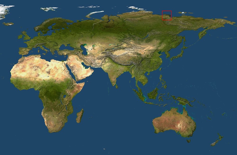
Scientists from the German Remote Sensing Data Center (DLR) and the Alfred Wegener Institute for Polar and Marine Research (AWI) have recently set off to investigate the permafrost soils in the delta of the Siberian River Lena. The German-Russian expedition called "Lena Delta 2006" is embedded in the research work of the Helmholtz Association's EOS research network. The scientific focus is divided into microbiological, pedological, hydrological and paleogeographical studies of the permafrost soils as well as the development of remote sensing methods to derive information about vegetation, soils and water surfaces in the Lena Delta.
Global warming is having a much greater impact on the polar regions, such as the Lena Delta in Siberia, than on our latitudes. The permafrost soils are increasingly thawing and a shift of the permafrost boundary to the north has been observed for several years. This process initiates the formation of the greenhouse gas methane: the large quantities of organic carbon stored in the permafrost are converted into methane by specially adapted microorganisms. The gas released, which is 23 times more effective for the greenhouse effect than CO2, accelerates global warming and thus exacerbates the problem of global change.
The scientists are particularly interested in two objectives: firstly, to determine more precisely the amount of carbon contained in the permafrost soils, and secondly, to measure how much methane (CH4) and carbon dioxide (CO2) is released into the atmosphere.
DLR is participating in the expedition with spectral measurements of the vegetation and soil. This is done both with measurements on the ground and during overflights of the European environmental satellite ENVISAT with the Medium Resolution Imaging Spectrometer (MERIS). Using suitable vegetation and soil models and with the help of satellite data, the results of the local analyses are to be extrapolated to the regional level. The aim is to be able to make reliable statements about the methane emissions of the entire Lena Delta and the Arctic regions using suitable models. Daily measurements on site will also provide information on the rate of thawing of the permafrost soils.