Team: SAR Interferometry
SAR Interferometry
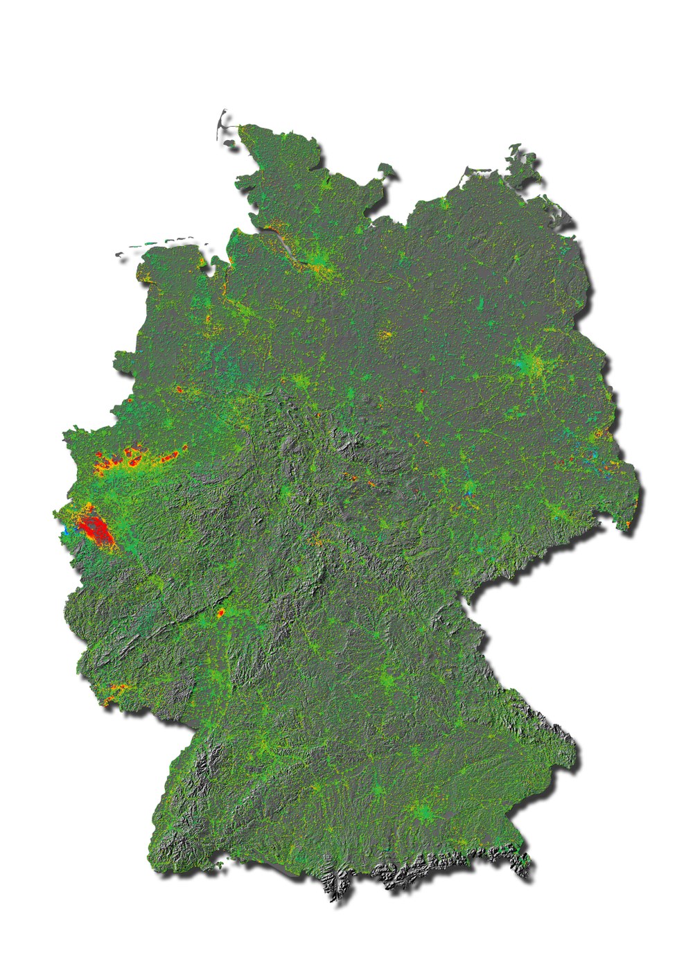
SAR Interferometry exploits the phase information present in SAR images to precisely measure range differences. These can be utilized for various applications, such as monitoring deformation of the Earth’s surface or generating Digital Elevation Models from space. With time series of SAR acquisitions spanning a few years, it is possible to measure the Earth’s surface deformation with accuracies on the order of millimeters per year at distances up to a few hundred kilometres. Such unique measurements are of interest for geohazard and infrastructure monitoring, glaciology, geological applications and more.
In recent years, many SAR satellite missions with interferometric capabilities have been launched and more are being planned. The team is involved in all civilian German and ESA missions, contributing to preparation studies, performance analyses, commissioning activities and data exploitation.
Advanced methods
The team studies advanced and efficient processing methods for stacks of SAR images in order to fully exploit the capabilities and big data produced by both modern missions such as Sentinel-1 and future ones such as Tandem-L.
We research and develop state-of-the-art SAR phase correction methods to improve the interferometric results. For instance, during their passage through the ionosphere and troposphere, radar waves accumulate extra delays that are then superimposed on the desired displacement signal and act as a disturbance. We compensate the tropospheric delays using numerical weather models and the ionospheric delays using estimates derived directly from the SAR data, by exploiting the dispersive nature of the ionospheric plasma.
With the availability of frequent acquisitions we are learning that there are contributions to the interferometric phase which have so far been ignored. One of these is vegetation and soil moisture state where we are investigating how to isolate and possibly remove these contributions from the interferograms.

