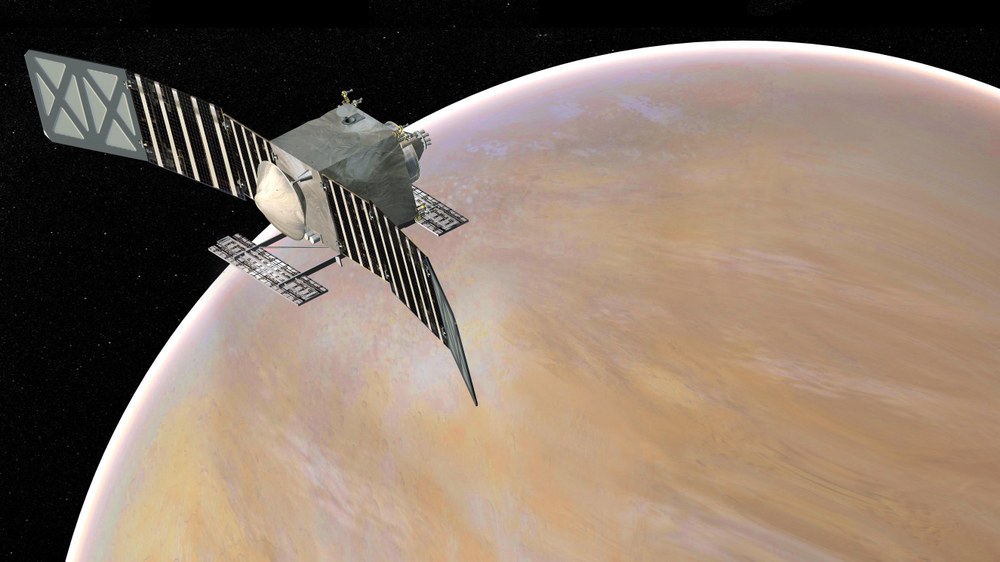
Artist's rendering of NASA's VERITAS (Venus Emissivity, Radio science, InSAR, Topography, And Spectroscopy) orbiter in orbit around Venus. The launch of the mission is planned for 2031. With the "Venus Emissivity Mapper" (VEM), DLR contributes one of three instruments. VERITAS will spend three years mapping the mineralogy and topography of Venus' surface. The main goal of the mission is to find out why Venus developed very differently from Earth and whether there might have been water on the planet for a while in the early days of the planet.
Venus Emissivity, Radio Science, InSAR, Topography, and Spectroscopy (VERITAS) is a NASA Discovery mission under the leadership of JPL.
How did Venus become a sulphurous inferno, while our home planet, Earth, evolved to have the only life known? Among all known planets, moons, and exoplanets, Venus is the most Earth-like in terms of size, bulk composition, and stellar energy. It also orbits within the Sun’s Goldilocks zone; while not habitable now, it may have been in the past. What makes rocky planets habitable? On Earth, continents, geological activity, subduction, and high heat flow are important. Does Venus have these processes? Are they active? VERITAS will considerably expand our knowledge as to how Venus’ and Earth’s paths diverged, and how Venus lost its potential to be a habitable world.
For decades, Venus was thought to differ from Earth due to a lack of interior water, preventing plate tectonics. However, data from Venus Express (VEX) hint that Venus’ large plateaus are analogous to continents, suggesting the presence of water when they formed. New theories about Venus’ volatiles come from a realisation that cometary contributions to a planet’s volatiles are minor compared to those of planetesimals, so rocky planets likely start out wet. Indeed, Venus may still have more interior water than Earth. VERITAS will test this fundamental idea about solar system and planet formation.
Over ~3.5 Earth years, the spacecraft returns six synergistic datasets with unprecedented coverage, resolution, and accuracy, totaling over 19 Tb. Four datasets are acquired by the JPL Venus Interferometric Synthetic Aperture Radar (VISAR) instrument an X-band dual-antenna SAR. Science data are transmitted to Earth via the X-/Ka-band communications system, which also acquires the gravity dataset.
Multispectral NIR surface images are collected by DLR’s Venus Emissivity Mapper (VEM). This is the first flight instrument designed with a focus on mapping the surface of Venus using atmospheric windows around 1 µm. The instrument is supported by the unique laboratory capabilities at the department Planetary Laboratories for Venus surface spectroscopy.
Hardware Participation of the DLR Institute of Planetary Research

