20 years DEMMIN – A research platform in Mecklenburg-Western Pomerania
May 19, 2020
20 years DEMMIN – A research platform in Mecklenburg-Western Pomerania
The COPERNICUS initiative of the European Union (EU) and the European Space Agency (ESA) is aimed at developing remote-sensing based information products and services. This requires establishing validation sites that provide ground truth data. For 20 years DLR has operated the DEMMIN remote sensing validation site.
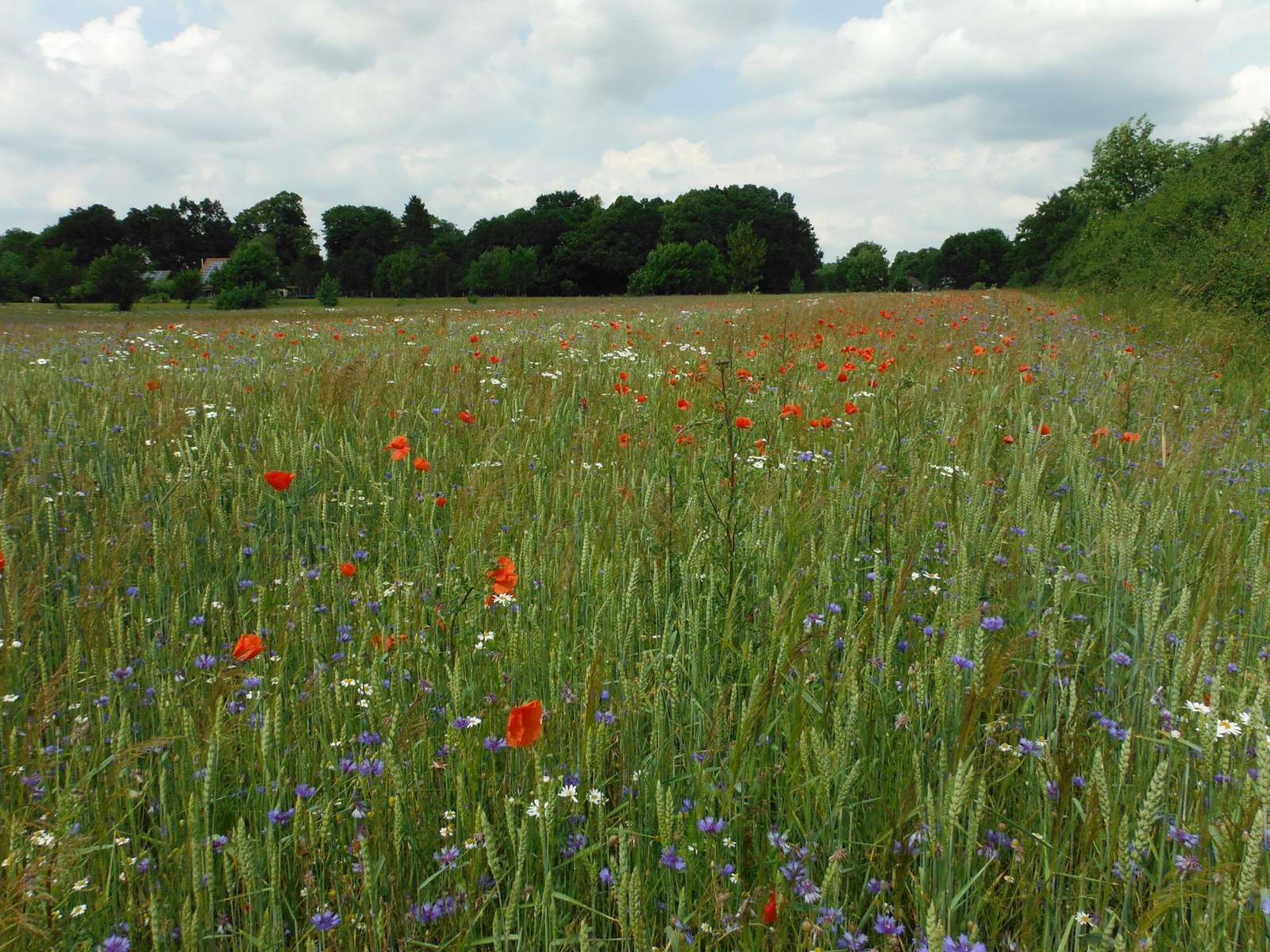
Sustainable agriculture also increasingly relies on cultivating strips of flowers that assure biodiversity beneficial to agriculture.
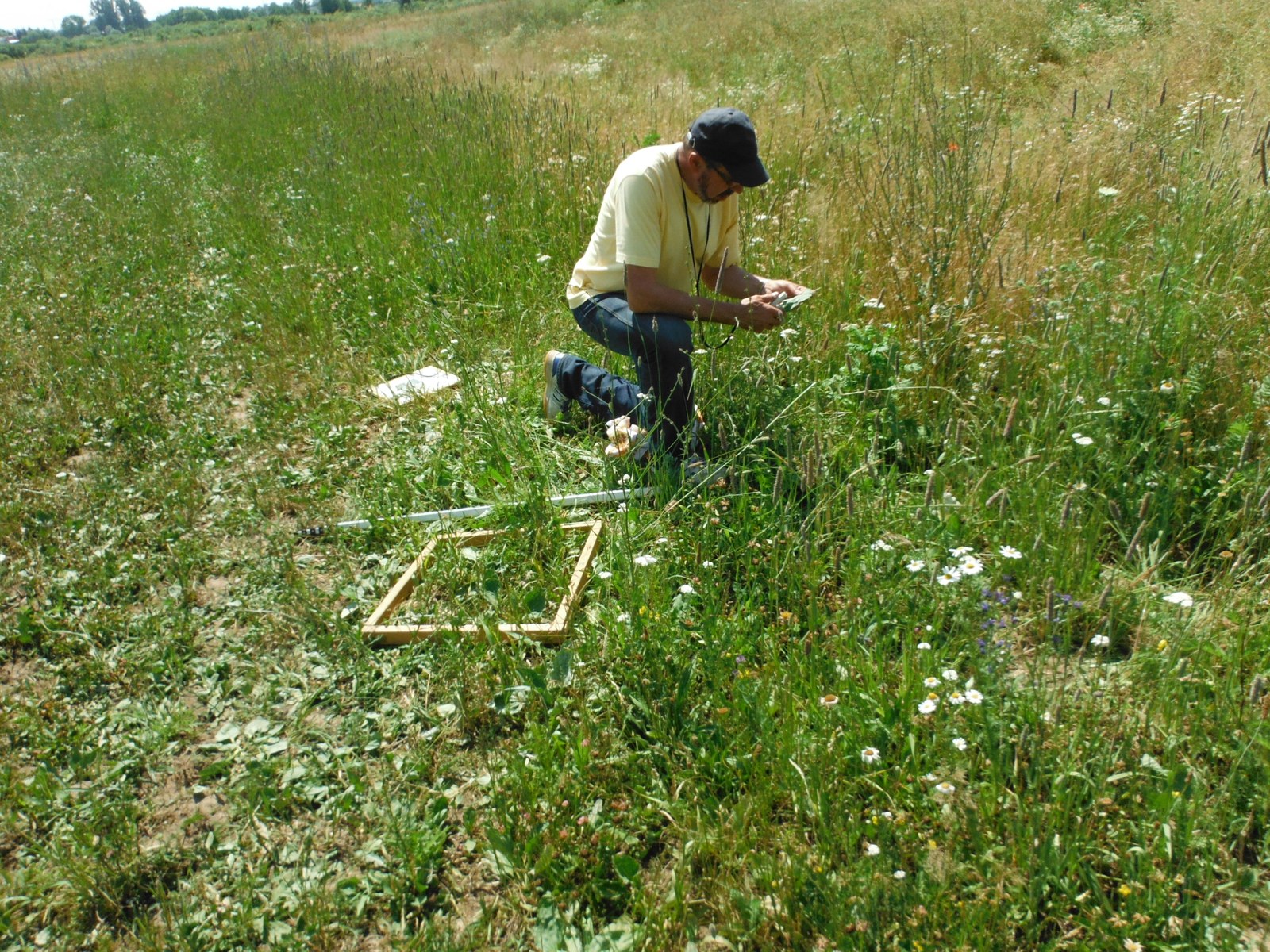
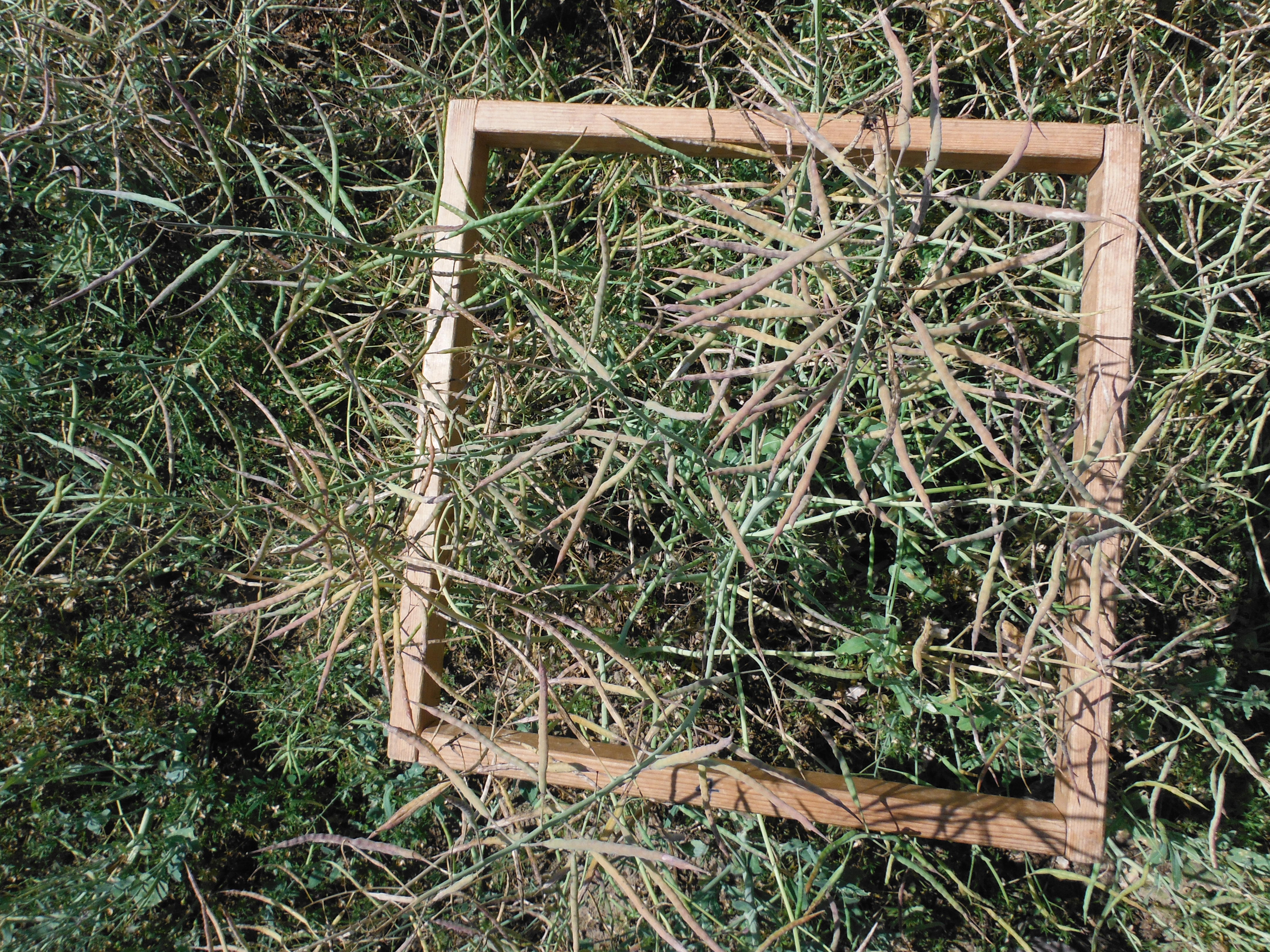
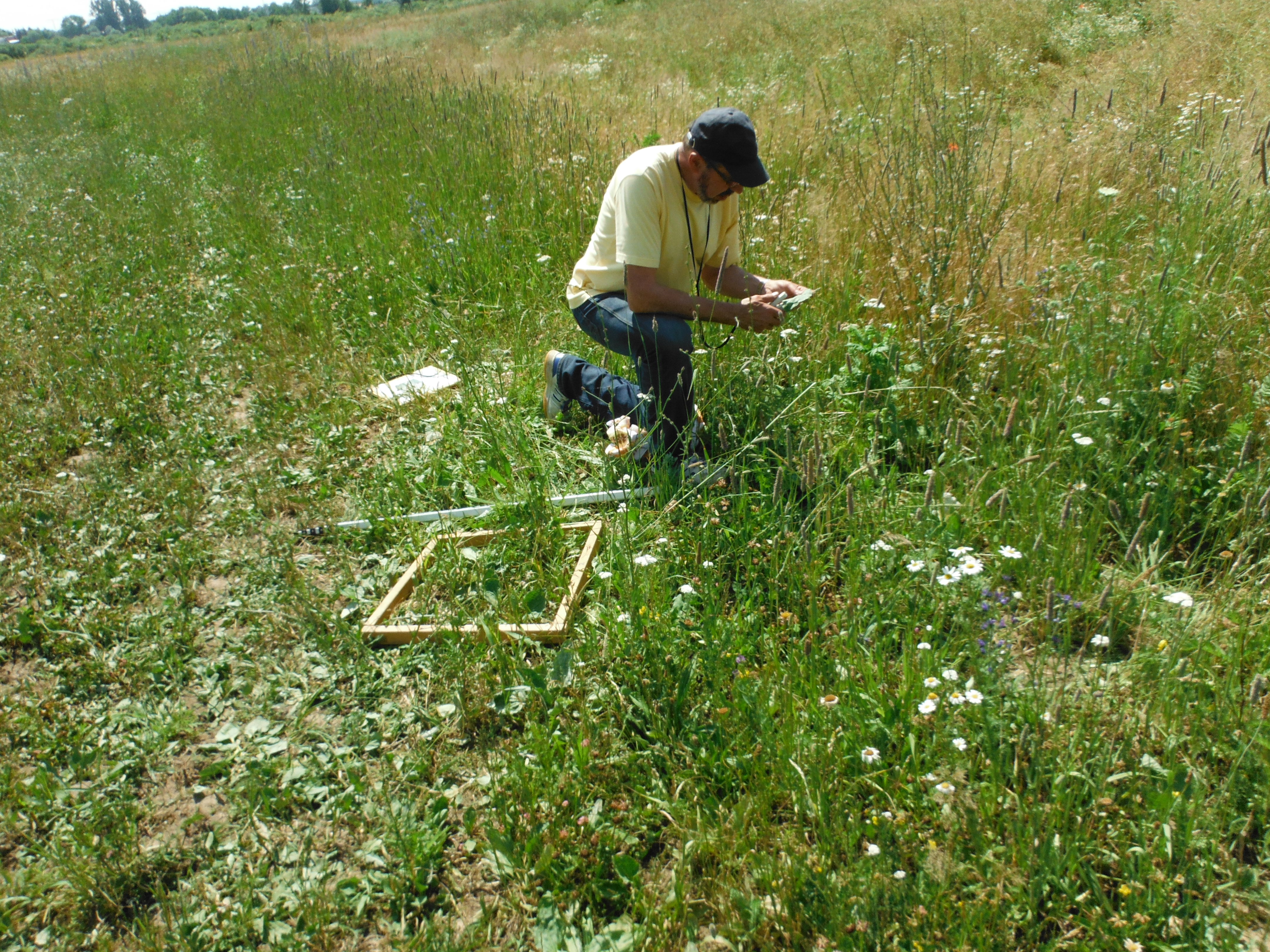
Measurements to obtain so-called ground-truth data
are an important precondition for understanding and correctly interpreting the signals coming from the satellite sensor. A 50 cm x 50 cm field frame encloses an area with biomass, here rapeseed, so that it can be photographed as well as cut away.
Because of their wide geographic coverage and timeliness, geodata based on remote sensing and satellite technologies are valuable for a multitude of applications in the field of urban and environmental studies. Applications increasingly focus on obtaining quantitative information. In order to determine its precision and margins of error, so-called ground-truth data are required. They, too, must be collected following a standardised and error-correcting procedure.
DLR has operated the DEMMIN site for 20 years
Since the year 2000 DLR has operated the DEMMIN validation and calibration site as a large-scale facility for developing and testing remote sensing applications. In 2004 an environmental measurement network was installed for the continuous, standardised measurement of environmental parameters (ground-truth data). Therefore, in addition to its own annual campaigns, in 2006 DLR could use the DEMMIN site as part of the international AgriSAR 2006 campaign to develop technology for the Sentinel-1 and -2 missions, for example. The data obtained during this campaign are still being used in scientific research.
In order to enlarge the potential of this large-scale facility and make it available to other research institutions, DLR joined the TERENO Northeast Observatory in 2009. As a result of close cooperation with other Helmholtz centres, namely Forschungszentrum Jülich (FZJ) and the German Research Centre for Geosciences (GFZ) in Potsdam, a lysimeter hexagon could be installed and the existing measurement network be expanded to over 40 stations to enable the joint development of remote sensing agricultural applications.
An additional step to integrate the site in the science community was undertaken by DLR in 2014 when it joined the CEOS JECAM initiative.
Agriculture and science in partnership
The DEMMIN research alliance comprising DLR, GFZ, FZJ, Helmholtz Centre for Environmental Research (UFZ) and other cooperating universities and technical schools builds on many years of trusted collaboration with farmers in the region.
The open-mindedness and often unselfish support of regional farns in the Demmin / Mecklenburg-Western Pomerania area were crucial for making possible the scientists' investigations and projects.
Creating low-threshold offers for the agricultural sector
The ground-truth data collected using the environmental measurement system could be made available to the wider public thanks to support from the TERENO initiative in particular. Data from the DEMMIN test site can be obtained via the new data platform at https://demmin.dlr.de.


