Accelerated Discovery of Nasca Geoglyphs Guided by AI
Archaeologists discovered more than 300 previously unknown geoglyphs in Peru. This has almost doubled the number of earth drawings at the UNESCO World Heritage Site of Nasca. The archaeologists from the University of Yamagata (Japan) employed an AI system developed together with a remote sensing expert from the EOC and data scientists from IBM Research (USA).
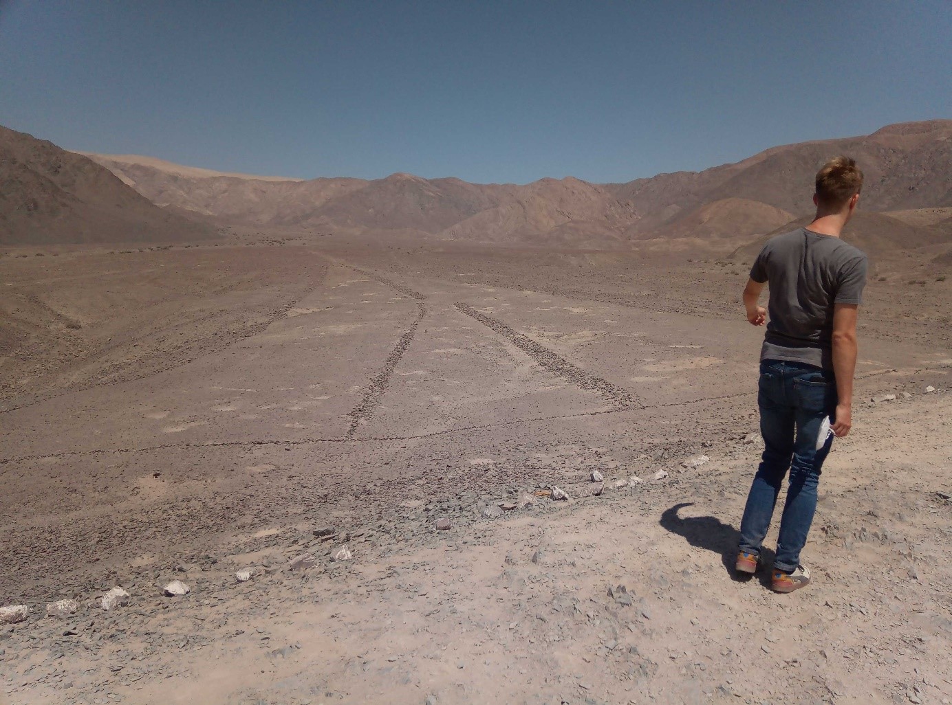
The Nasca geoglyphs are drawings that can extend over several hundred meters. Most of them become obvious to the untrained eye from a distance such as from surrounding hills (Fig. 2) or through aerial photos, only. The geoglyphs were created between 100 BC and 500 AD by the Nasca people removing and piling up stones on the desert plateau. Many of them are weathered, eroded and some of them are difficult to recognize today.
The DLR-IBM-Yamagata collaborators developed a deep learning model to search the vast terrain of the Nasca Pampa for traces of Nasca Geoglyphs. This made it possible to scan over 600 square kilometers of aerial photographs with a resolution of ten centimeters to identify geoglyph candidates. The challenges: The focus was on small geoglyphs around 10 meters in scale and challenging to identify by naked eye. In addition, supervised AI models require training with sample data. However, such labeled data are not sufficiently available
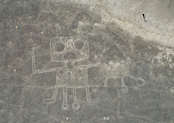
The AI system revealed the distribution of candidate geoglyphs from aerial photographs, drawing the archaeologists’ attention to areas where to take a closer look at the ground on site. With the 303 newly discovered figurative geoglyphs, an example of which is shown in Fig. 1, the number of these types of earth drawings doubled in a blink of an eye. While the AI-assisted discovery was now possible with just six months of fieldwork, it took decades, previously.
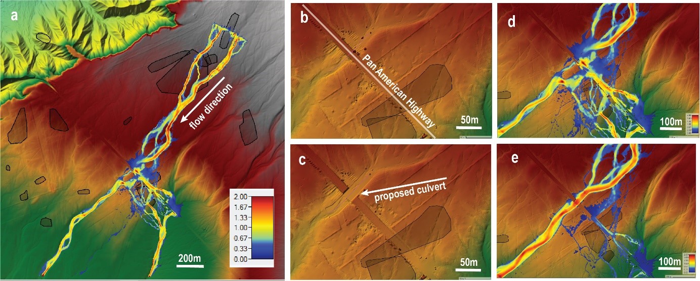
The drawings are highly susceptible to erosion. In particular, the masses of water that pour down from the Andes into the Nasca-Pampa during heavy rainfall may irreversibly destroy these historical treasures. For this reason, the entire Nasca-Pampa was also scanned by an airborne laser instrument (LiDAR) to obtain three-dimensional terrain information. The high-precision elevation models obtained in this way allow determination of flood pathes to calculate the risk of a Geoglyph to get overflowed. As an example: The researchers' modeling demonstrates that the Transamerican Highway may channel floodwaters over a geoglyph. Subsequently, solutions to prevent such events can be simulated by modified terrain to avoid geoglyph flooding.
The project demonstrates how remote sensing and artificial intelligence go hand in hand to process large amounts of Earth observation data for the discovery and protection of our cultural heritage.
Links


