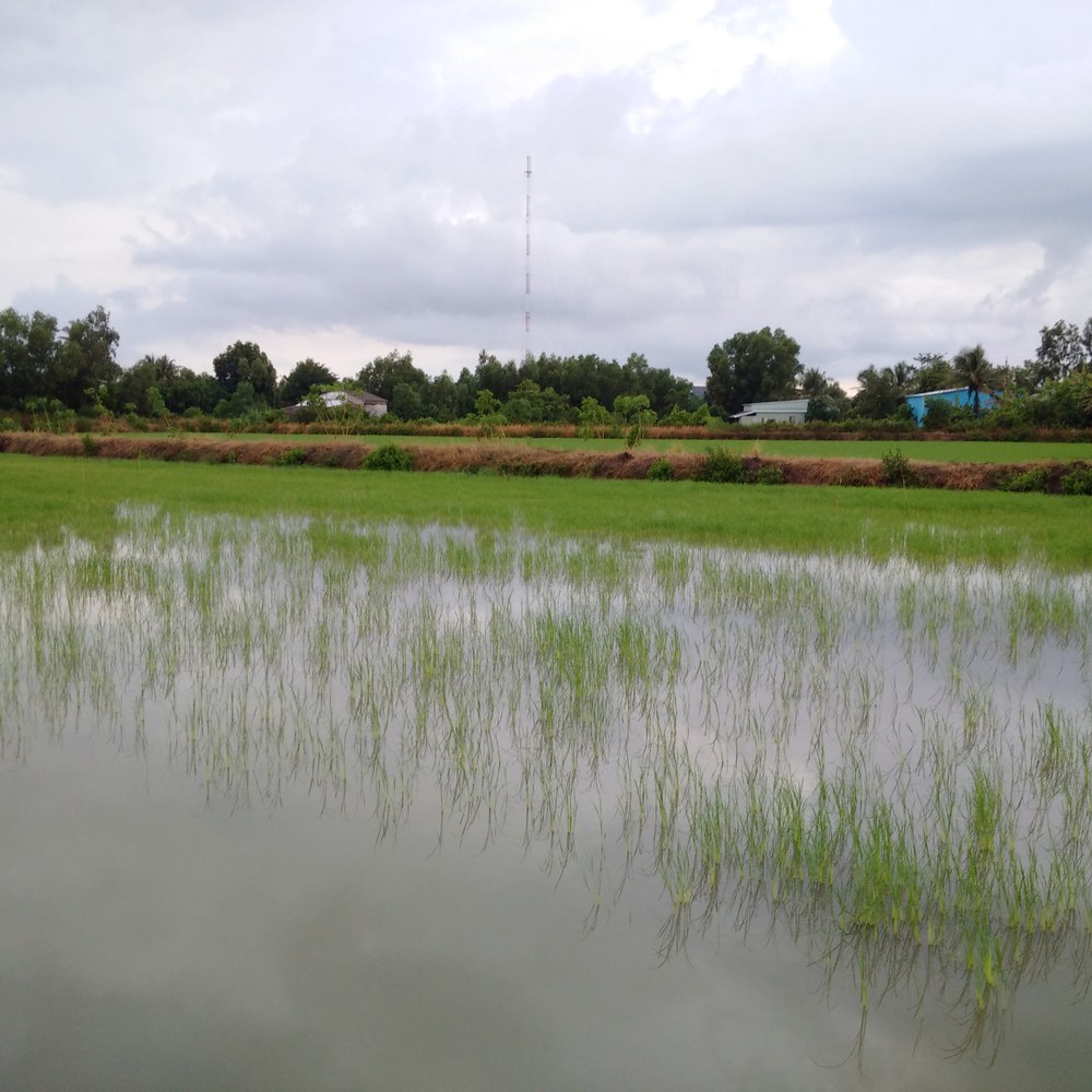
Rice is one of the world’s most important sources of nutrition. A satellite-image-based analysis carried out at EOC shows changes in China's rice acreage. Climate change and urbanisation on the one hand and national subsidy programmes on the other are resulting in a relocation of rice cultivation.
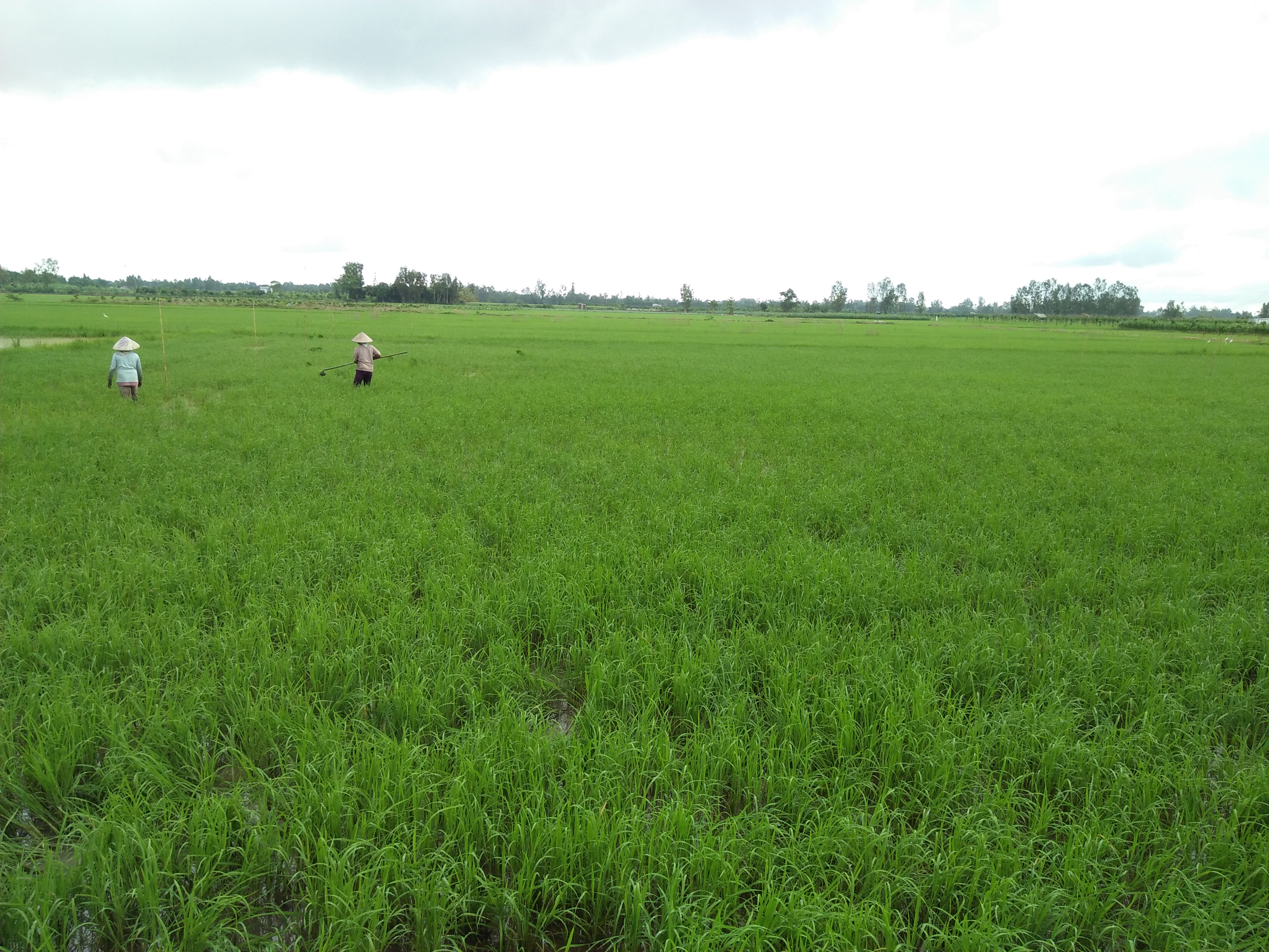
China is the world’s largest producer of rice and annually contributes 208 million tons or 28% of the global rice harvest. For decades the centre of rice cultivation was in China’s southern provinces along the Yangtze River. However, rice acreage has continuously decreased there since the 1980s. The reasons are increasing temperatures and rapid industrial and urban expansion, which have led to changes in land use and the loss of space for rice cultivation. By contrast, grain production has heavily expanded in the north-eastern Chinese plains, especially in Heilongjiang Province at the Russian border, as a result of subsidy programmes and improvements to agricultural infrastructure. Today, Heilongjiang Province is China’s largest producer of rice.
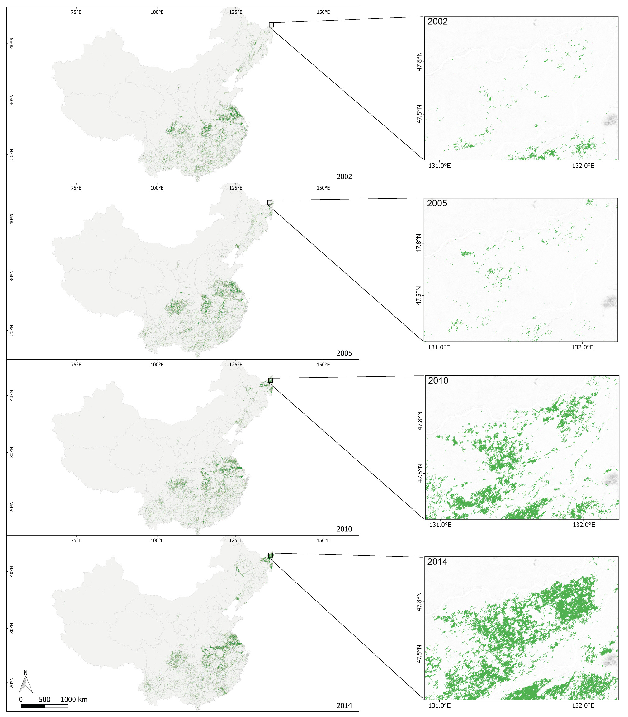
An analysis of time series extending over many years and recorded at close intervals shows the changes in rice acreage in all of China. It is based on data from the MODIS instrument on board the Aqua and Terra satellites. Daily recordings made by both satellites make it possible to detect flooded rice fields and to distinguish them from the fields of other cereal grains. The frequent satellite recordings include enough cloud-free images to allow mapping also with optical instruments. The last image on this page shows changes in rice acreage (in green) over the course of the study. The excerpts show the rapid increase in rice acreage in the plains of the Heilong Jiang River from 2002 to 2014. During this time rice acreage increased by 16.568 km² — which is equivalent to the area of Thuringia — and rice production grew from 9.2 to over 22.5 million tons per year —-a 244% increase.
Such surface analyses make it possible to estimate the harvest yield. This is important information for food security and subsidy measures as well as for the cereal grain trade.


