
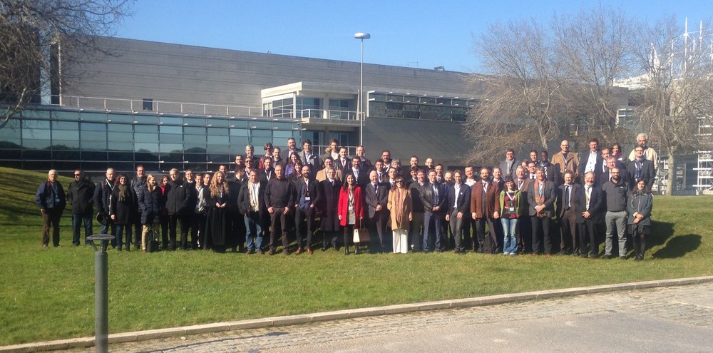
Project Launch in Lisbon
The kick-off meeting for the Horizon2020 project “NextGEOSS” was held 16-18 January in Lisbon. Its goal is to make it possible for geodata that are currently available worldwide to be more easily and efficiently located with the help of intelligent algorithms.

Over the course of the next three-and-a-half years the 27 project partners want to improve, expand and further develop the “System of Systems” of the international Group on Earth Observation (GEO). GEO has over 100 members who support and use its “System of Systems” platform (GEOSS), which is an interface to data and information about System Earth. The most important European contribution to GEO is the earth observation system Copernicus.
EOC participates prominently in many GEO projects.
Intelligent search algorithms are being developed to improve GEOSS search results, so that particular data sets can be found more efficiently. These sometimes very large data sets (Big Data) can then be processed on server clusters to yield so-called value-added information products. NextGEOSS will implement for this purpose the open source CKAN (Comprehensive Knowledge Archive Network) approach as well as other software for finding and locating geodata. Next-generation GEOSS will also support search queries in any EU language; a search for “Landoberfläche” will simultaneously provide results for “land surface” as well as for the equivalents in other EU languages.
The primary task for EOC in NextGEOSS is to implement the interface to Copernicus data for GEO applications. In addition, EOC participates in as well as leads pilot research projects that demonstrate the use of Big Data in earth observation. For example, information products on air quality in built-up areas and on land use are to be generated in distributed computer centres “in the cloud” using extensive data sets from various sources.