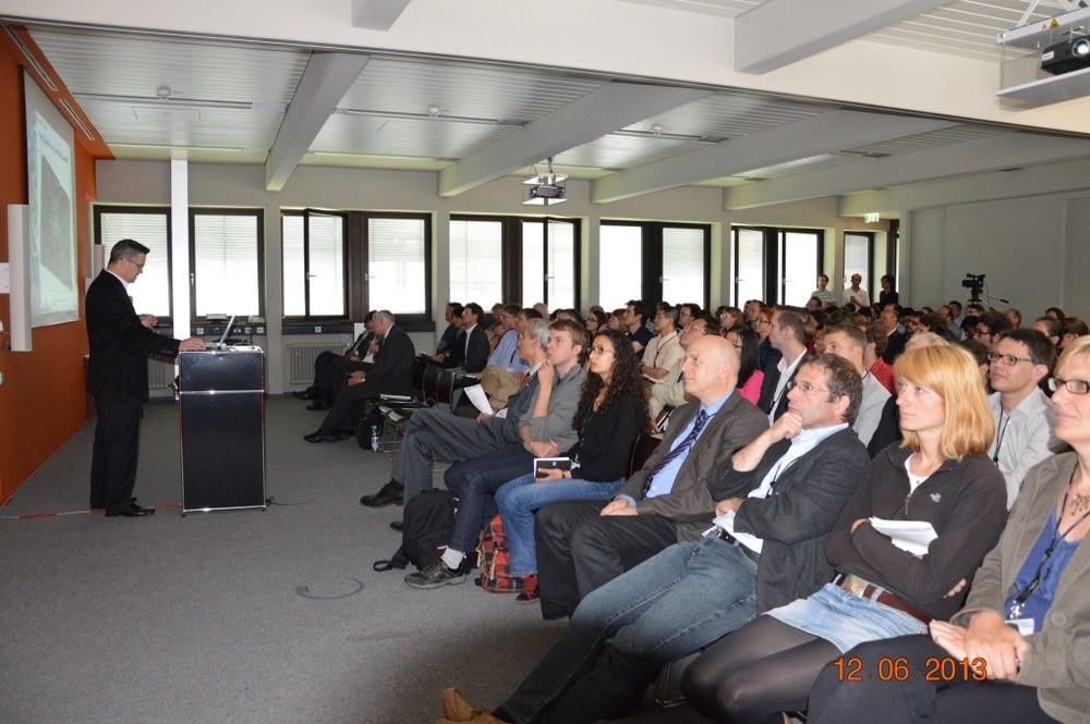
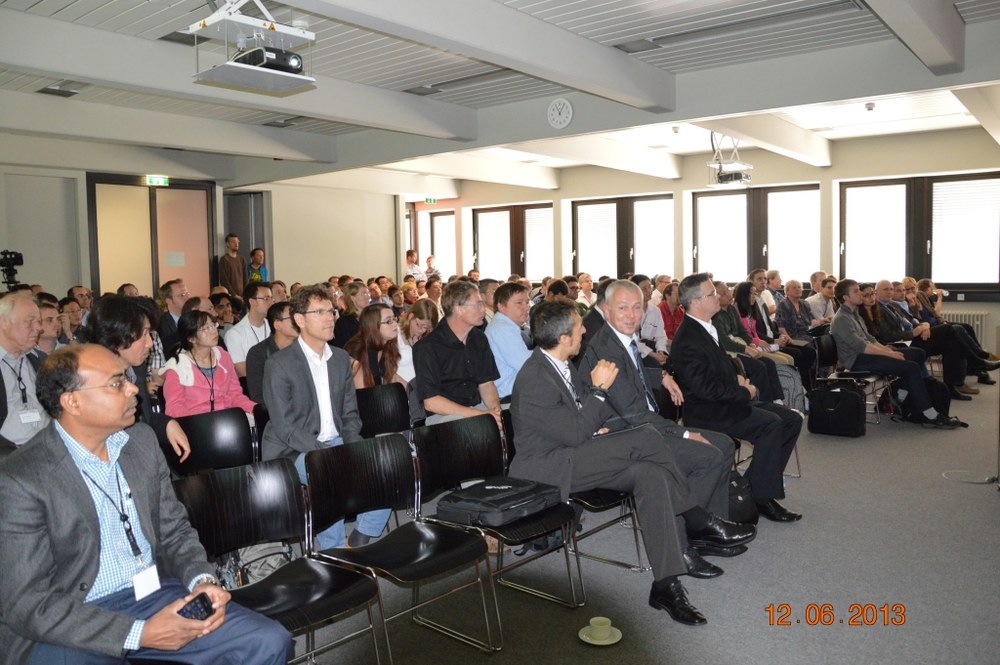
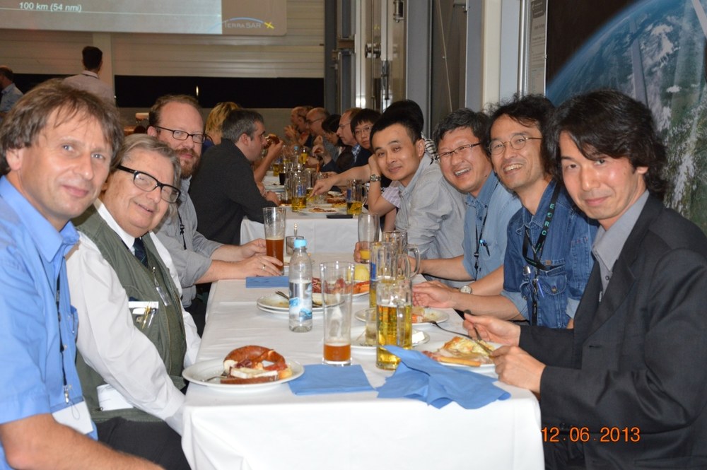
5th TerraSAR-X and 4th TanDEM-X Science Team Meetings


TerraSAR-X is an innovative earth observation satellite that has been supplying radar images since early 2008 at a level of detail previously unavailable for civilian purposes. With the help of its radar antenna it can monitor Earth’s surface independent of cloud cover and time of day. Since 2010 TerraSAR-X has been flying in close formation with its sister satellite TanDEM-X to record data for a high-resolution global digital elevation model.
The research teams represented at these meetings analyze time series for the questions they are variously investigating. In addition to research on the causes and consequences of global change, the satellite is also used to study geophysical topics.
To monitor volcanos or conduct earthquake research, movements of the earth surface are recorded using an interferometric approach and the resulting measurements are compared with modeling results. The models themselves are then further refined, leading to improve understanding of the ongoing processes. For example, with the help of a TerraSAR-X time series GFZ was for the first time able to study the spatial development of the conduit system and the magma chambers of Colima volcano in Mexico. The high spatial and temporal resolution of TerraSAR-X data is also increasingly being exploited to monitor infrastructure like bridges, dams and buildings.
After the various applications for SAR interferometry, polar research was the focus of the next largest group of participants. TerraSAR-X data are being used to record and tally up ice masses especially in Greenland and the Antarctic. The University of Miami, for example, is investigating the effects of the retreat of ice masses on the surrounding terrain. Uplifts up to several centimeters annually were ascertained near Vatnajökull glacier on Iceland and Barnes glacier on Baffin Island in northern Canada. Both glaciers are experiencing a considerable loss of ice mass. Compared with the last TerraSAR-X science team meetings there were more projects relating to the Himalayas and to changes in permafrost regions.
