
Vesta, Topographic Map of the Southern Hemisphere with Colour-Coded Elevation

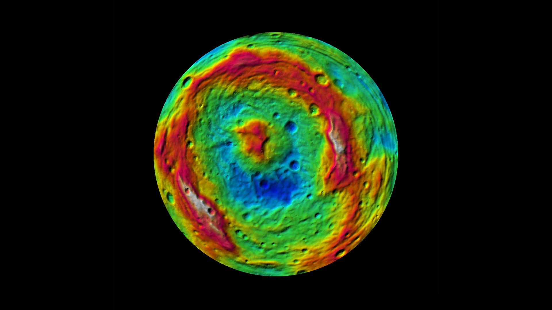
Vesta, Topographic Map of the Southern Hemisphere with Colour-Coded Elevation
This false-color map of the giant asteroid Vesta was created from stereo images obtained by the framing camera aboard NASA's Dawn spacecraft. The image shows the elevation of surface structures with a horizontal resolution of about 750 meters per pixel.