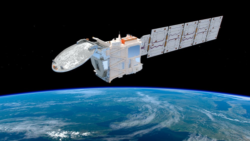
EarthCARE
Solar radiation drives atmospheric circulation and hence weather and climate. Accurate knowledge about solar and terrestrial radiation and their interaction with clouds, aerosol particles, and trace gases is therefore required for the determination of the Earth’s radiation budget that controls climate. The EarthCARE satellite mission, launched by ESA in May 2024, provides new insights into aerosol-cloud-radiation interactions thanks to simultaneous active and passive observations of the Earth’s atmosphere.

©ESA
To better understand the role of clouds and aerosols in climate, observations of microphysical, optical, and chemical properties of clouds and aerosols are crucial. While ground-based or airborne instruments provide high-resolution observations with limited spatial and temporal coverage, satellite sensors provide data covering large temporal and spatial ranges, but they do not give detailed microphysical or optical properties. Benefits for climate research emerge through the combination of ground-based, airborne, and satellite observations together with model simulations.
From 2024 on, the joint European-Japanese Earth Clouds, Aerosol and Radiation Explorer (EarthCARE) mission has the objective to provide collocated observations of clouds, aerosols and radiation with global coverage. EarthCARE will deliver accurate observations of top of atmosphere (TOA) radiation fluxes with coincident cloud and aerosol properties with the aim to improve the understanding and prediction of climate change, to characterize the impact of aerosol and clouds on radiation, and to investigate feedback processes in the Earth-Atmosphere system.
To achieve these scientific goals, EarthCARE orbits the Earth in an altitude of 390 km and carries an unprecedented collection of active and passive remote sensing instruments on one single satellite platform:
- the atmospheric lidar ATLID, a high spectral resolution lidar operated at 355 nm wavelength with 30 m ground-footprint and polarization channels,
- the 94 GHz Doppler cloud profiling radar CPR with 500 m sampling distance and 500 m vertical resolution,
- the multi-spectral imager MSI with seven channels in the solar and thermal spectral range, 500 m nadir spatial resolution and a swath width of 150 km,
- the broad band radiometer BBR with shortwave and longwave channels, three along-track views and 10 km ground pixel size.

ESA/ATG medialab
