Digital terrain model

Digital terrain model
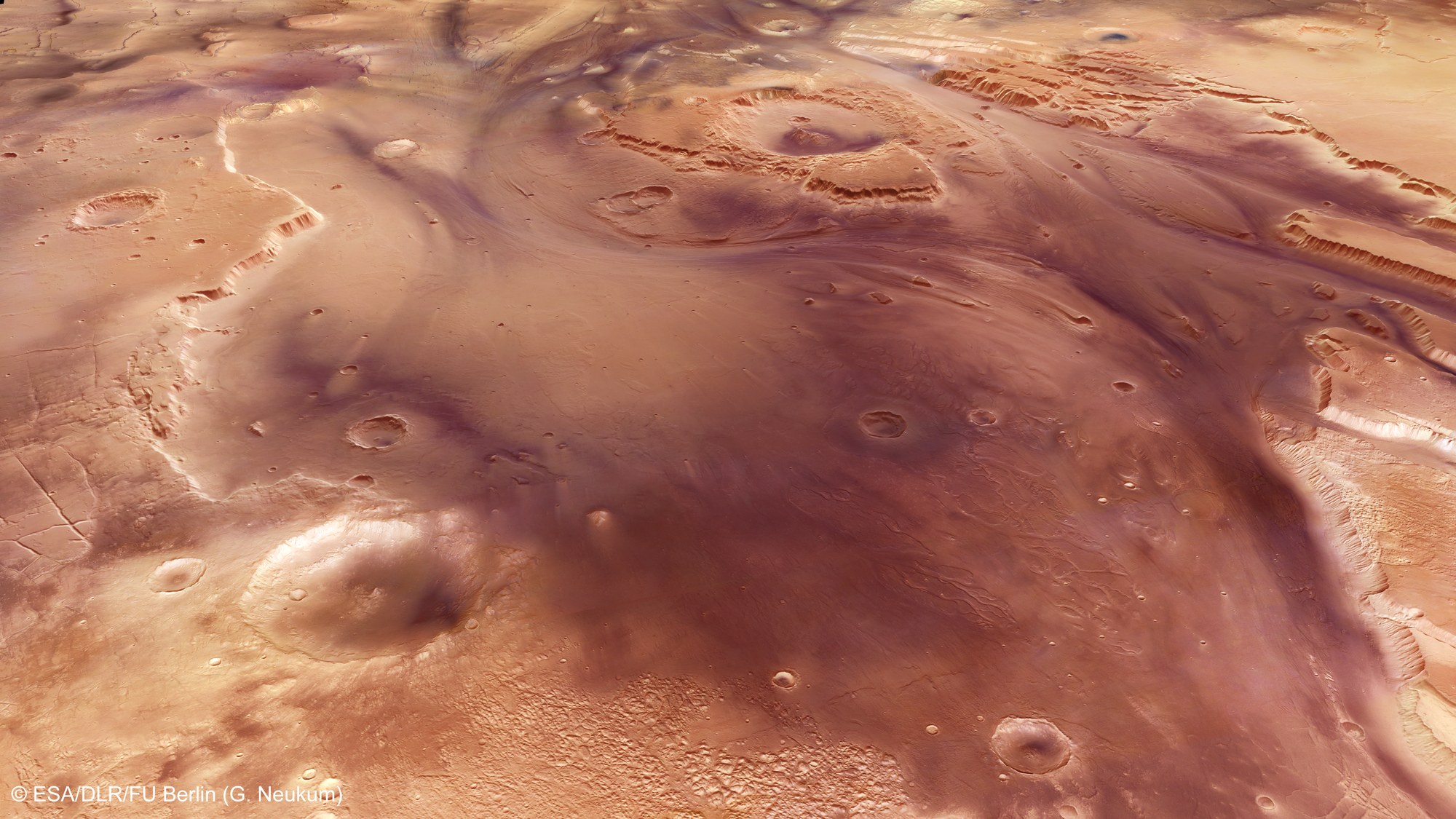
River valleys eroded by flowing water were first observed by the Viking missions of the late 1970s. The high-resolution digital terrain models of the HRSC not only enable better geological interpretations, but also allow quantitative statements to be made about water quantity and erosion rates, like here in the Kasei Valles.