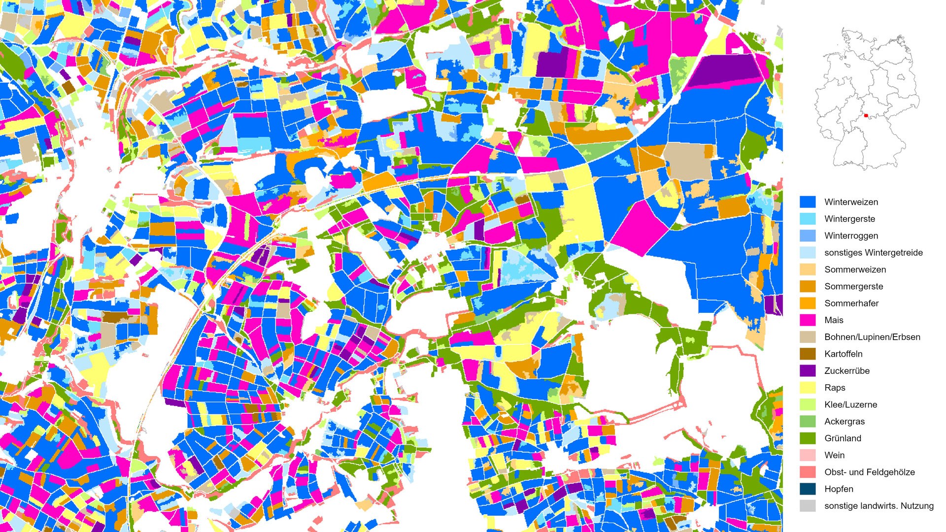
Different field sizes in Bavaria and Thuringia
Different field sizes in Bavaria and Thuringia
This map depicts types of crops and primary agricultural uses in Germany, at a resolution of ten metres. The colours represent 18 different crops. This image shows a landscape on the border between Bavaria (south-west) and Thuringia (north-east) in 2020, characterised by varying field sizes shaped by historical factors.

