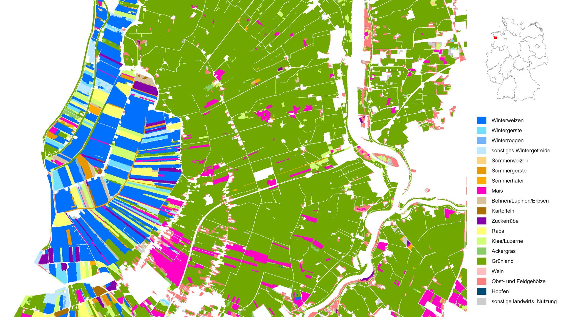
Agricultural landscape around the Ems estuary (Lower Saxony)
Agricultural landscape around the Ems estuary (Lower Saxony)
This map depicts types of crops and primary agricultural uses in Germany, at a resolution of ten metres. This representation, based on data from 2020, highlights an agricultural landscape between the Dutch border and the Ems estuary. In the western polder, where highly fertile soils are prevalent, cereals (blue) and rapeseed (yellow) are the dominant crops. Meanwhile, the marshland to the east is almost entirely dedicated to dairy farming (green).

