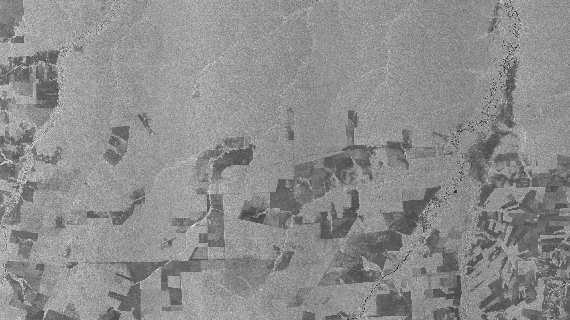
Mato Grosso, Brazil – radar documents logging in the Central Brazilian rainforest
Mato Grosso, Brazil – radar documents logging in the Central Brazilian rainforest
In the Mato Grosso province in the Brazilian southwest, no more than 2.5 million people live in a territory almost three times as large as the Federal Republic of Germany. The north of the province is dominated by the fringes of the Amazon rainforest where logging has been particularly extensive in recent years.
Because of their different reflection characteristics, clearings appear in the radar image as rectangular, relatively dark zones within the otherwise homogeneous surface of the forest. Covering large areas with optical cameras mounted in satellites is especially problematic in the tropics as this region is frequently concealed by dense cloud layers.
Under these circumstances, the radar instrument on board TerraSAR-X can make the most of its ability to generate detailed images. The valleys of the rivers that run through the area show up on the radar image even under their cover of vegetation.

