
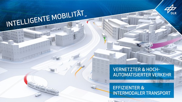
Intelligent mobility
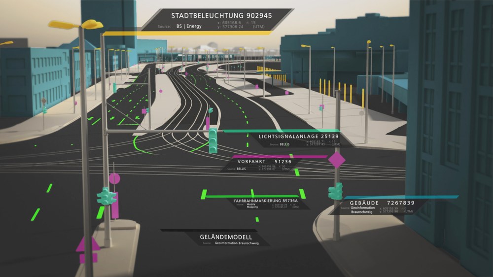
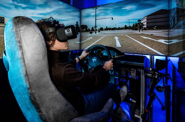
In future, transport will be automated, networked and electrically powered. Urbanisation is continuing, and cities are becoming smart. Road users will move within a common traffic area, whether their vehicles are automated or manually controlled, and regardless of whether they are travelling by road or rail, in the air or on water. The transport system must be safe, robust and efficient, no matter what the situation.