Utilisation of Geoinformation Data in Aeronautical Research
April 29, 2024
Utilisation of Geoinformation Data in Aeronautical Research
Keynote on the importance of geoinformation data for air traffic at GeoDPA 2024
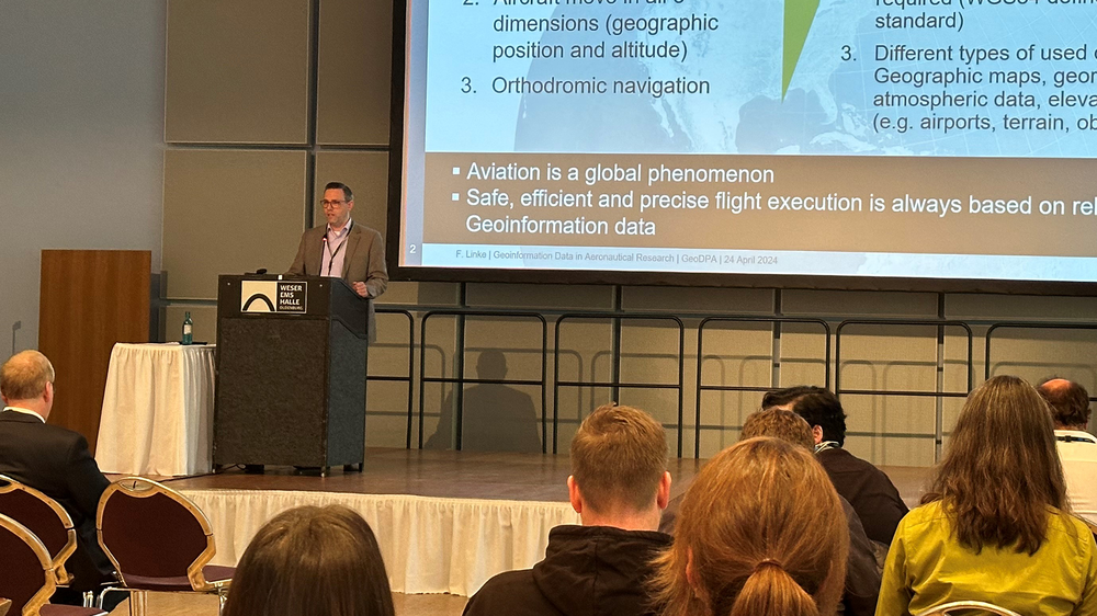
Dr. Florian Linke, Acting Director of the Institute of Air Transport at the German Aerospace Center (DLR), provided insights into the use of geoinformation data in aeronautical research during his keynote at this year's GeoDPA conference.
Participation GeoDPA 2024 - Institute of Air Transport
The GeoDPA conference, covering various fields such as aerospace, energy, transportation, and security, provides a forum for the exchange of ideas and best practices in dealing with geoinformation data.
Overview of geoinformation data in aeronautical research
Applications for aviation
Importance of geoinformation data for modeling and analysing air traffic emissions
The utilisation of geoinformation data is crucial for the safe, efficient, and precise management of air traffic and offers numerous opportunities for aeronautical research, such as modeling air traffic emission distributions.
During the inaugural "International Conference on Geoinformation Data, Processing and Applications" (GeoDPA) hosted by the German Aerospace Center (DLR), Dr. Florian Linke from the DLR Institute of Air Transport delivered a keynote on the use of geoinformation data in aeronautical research. Dr. Linke highlighted various applications, including the creation of range maps for aircraft, airport planning, and efficiency analyses of flights using flight track data.
Researchers from the DLR Institute of Air Transport also presented posters on these specific use cases:
Geo-data to visualise air-to-air connectivity in Aeronautical Ad Hoc Networks (AANETs) for aeronautical data communication: The IntAirNet project investigated the advantages of AANETs. This required a geo-referenced analysis of the communication performance (Alexander Hillebrecht et al. 2023, Alexander Hillebrecht et al. 2023).
Geo-data for modelling the global introduction of hydrogen aircraft: The global use of hydrogen-powered aircraft was calculated and simulated in three steps using aviation-specific and geo-economic data (Martin Jung et al. 2024).
Organised by the DLR Institute of Transportation Systems, the DLR Institute of Networked Energy Systems, the DLR Remote Sensing Technology Institute (IMF), the German Remote Sensing Data Center (DFD), and the DLR Institute for the Protection of Terrestrial Infrastructures, approximately 20 DLR institutes, involved in the DLR Digital Atlas 2.0 project and the Emissions Map (ELK) impulse project, as well as numerous external participants, presented their latest research results at the DLR GeoDPA in April 2024 in Oldenburg.
The GeoDPA conference, covering various fields such as aerospace, energy, transportation, and security, provides a forum for the exchange of ideas and best practices in dealing with geoinformation data. Participants have the opportunity to engage in inspiring keynotes, interactive poster sessions, discussions, and excursions to DLR institutes.
For inquiries regarding the application of geoinformation data in aeronautical research, please refer to the contacts below.