Real-time situation maps for disaster management

- DLR has provided valuable live image data for the ACHILLES 24 international disaster response exercise in Switzerland.
- For the first time, the mapped regions were analysed directly on site within the disaster area using artificial intelligence (AI).
- Focus: Security, international disaster relief, remote sensing, AI
From 21 to 25 May 2024, the German Aerospace Center (Deutsches Zentrum für Luft- und Raumfahrt; DLR) took part in the international disaster relief exercise ACHILLES 2024 in Switzerland. For the first time, a team from the DLR Institute of Optical Sensor Systems succeeded in creating a live map image of the exercise area and analysing it using AI. The information was then transferred to the United Nations' Coordination Management System (ICMS) and utilised by all participating teams.
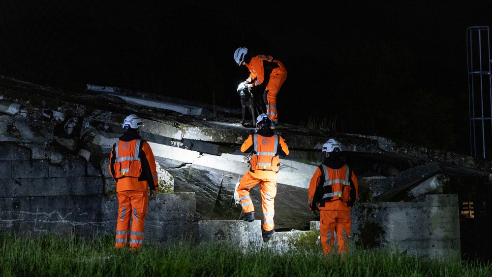
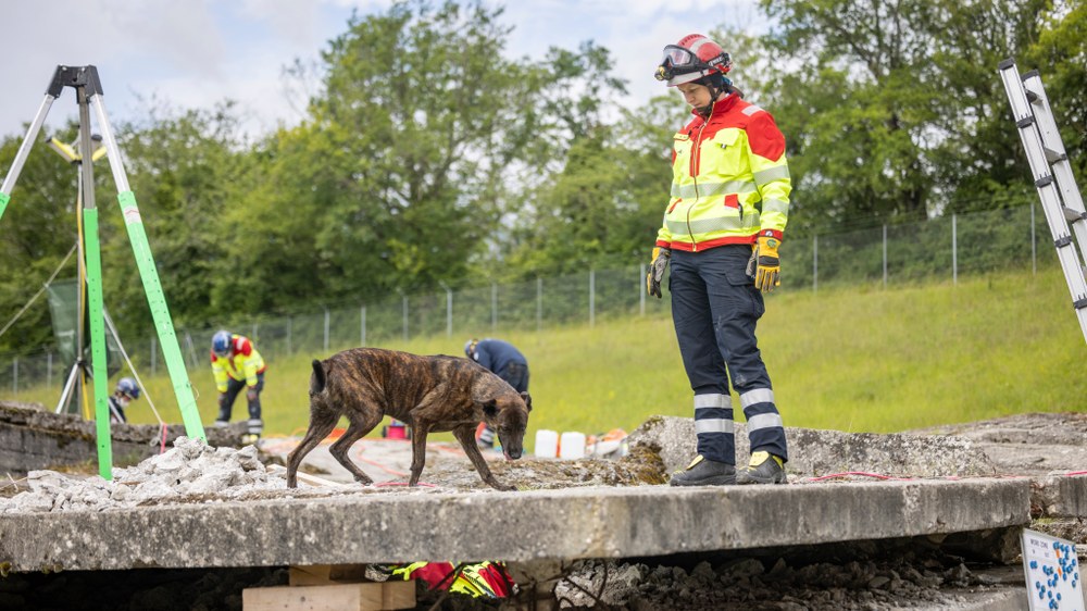
An emergency scenario under realistic conditions
The disaster scenario simulated an earthquake with a magnitude of 7.1 on the Richter scale that resulted in people buried and missing. The five participating international teams of aid and rescue workers needed to be deployed and coordinated in a targeted manner. DLR accompanied the non-profit aid organisation I.S.A.R. Germany during the exercise as the drone operations team. As part of the operation, the DLR team controlled a MACS-nano camera on board a drone over the disaster area and created a live map using real-time mapping. During the flight, the high-resolution aerial images were georeferenced and continuously transmitted to the ground. Georeferencing gives the digital image a spatial position by assigning each pixel a geographical longitude, latitude and altitude on Earth's surface.
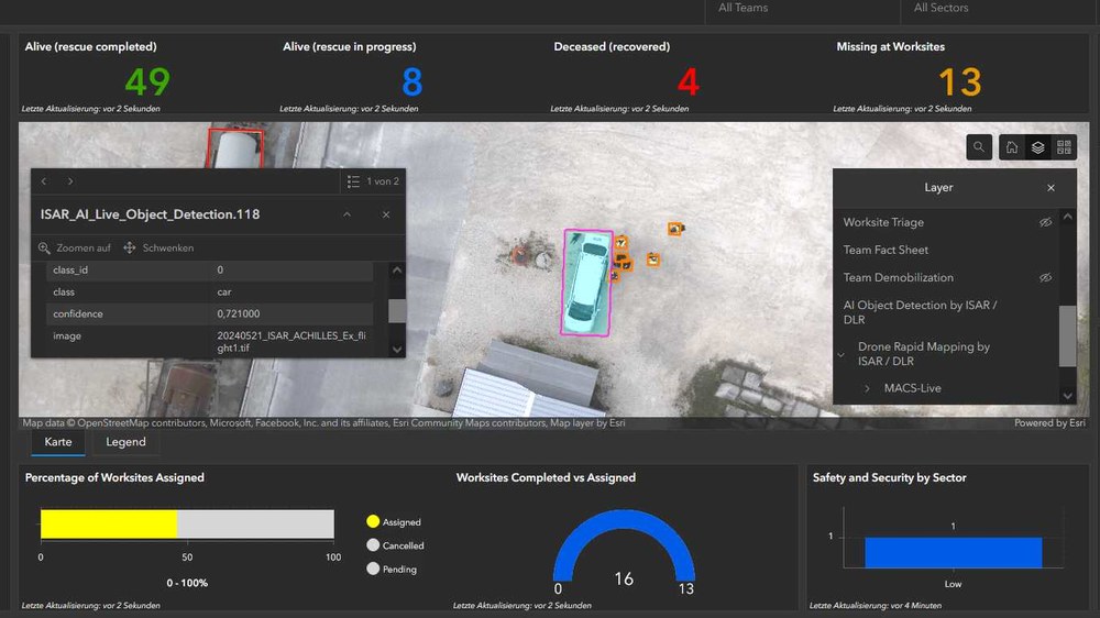
The generated situation map was transferred directly to the Coordination Management System (ICMS) via a Starlink terminal and used by all participating teams. The ICMS is an emergency management system that is used to process and visualise relevant data and information. This information is uniformly available to all participating organisations in a disaster area and is used to coordinate emergency teams and resources, assess the extent of the damage and prioritise deployment locations.
First map evaluation using AI
In a world first for this type of exercise, the situation map was analysed directly in the emergency area using AI methods and then made available in the ICMS. The open source software was able to automatically detect objects relevant to the search and rescue work of the disaster relief workers. For example, clusters of people and various types of vehicles such as cars, vans, trucks and excavators were identified and localised by the AI model.
The results were provided with a short delay as a web feature layer for use as geoinformation in the ICMS. The use of AI processes significantly speeds up the initial evaluation of the image data compared with manual inspection and interpretation.
Multi-agency collaboration for disaster management
From the outset of the exercise, the three layers of the situation imagery provided by DLR (RGB map, thermal infrared map and AI geoinformation) were made available to all participating teams in the ICMS by the INSARAG Mapping Group of the United Nations. DLR and the non-profit aid organisation I.S.A.R. Germany have been cooperation partners since 2016. Together, new technical developments for use in crisis and disaster management are being trialled and deployed in real-life disaster situations.


