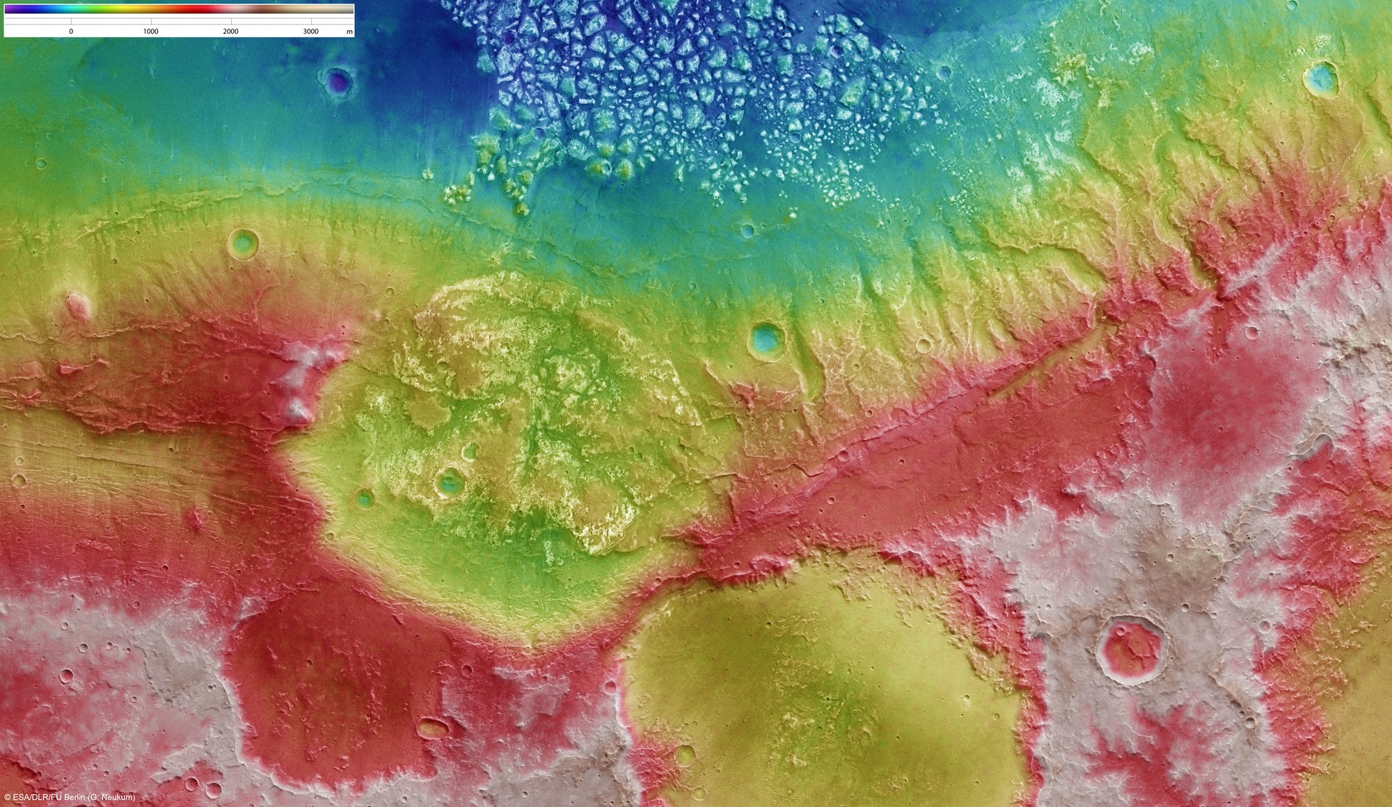
Topographic map of the region at the northern edge of Magellan Crater
Topographic map of the region at the northern edge of Magellan Crater
The imaged region, on the northern edge of the Magellan (Magelhaens) Crater, was acquired from an altitude of 500 kilometres on 6 February 2009 during orbit 6547 and has a resolution of about 25 metres per pixel. The images show an area at 34°S and 185°E. Measuring about 190 kilometres by 112 kilometres, the area shown covers about 21,280 square kilometres, which is about the size of Slovenia. It is to the southwest of the volcanic region Tharsis on the southern highlands of Mars.
This image was created using a Digital Terrain Model (DTM) derived from data acquired by the High Resolution Stereo Camera (HRSC) operated by DLR on ESA's Mars Express spacecraft. Elevation data from the DTM is colour-coded – purple indicates the lowest-lying regions and beige the higher elevations. The scale is in metres.

