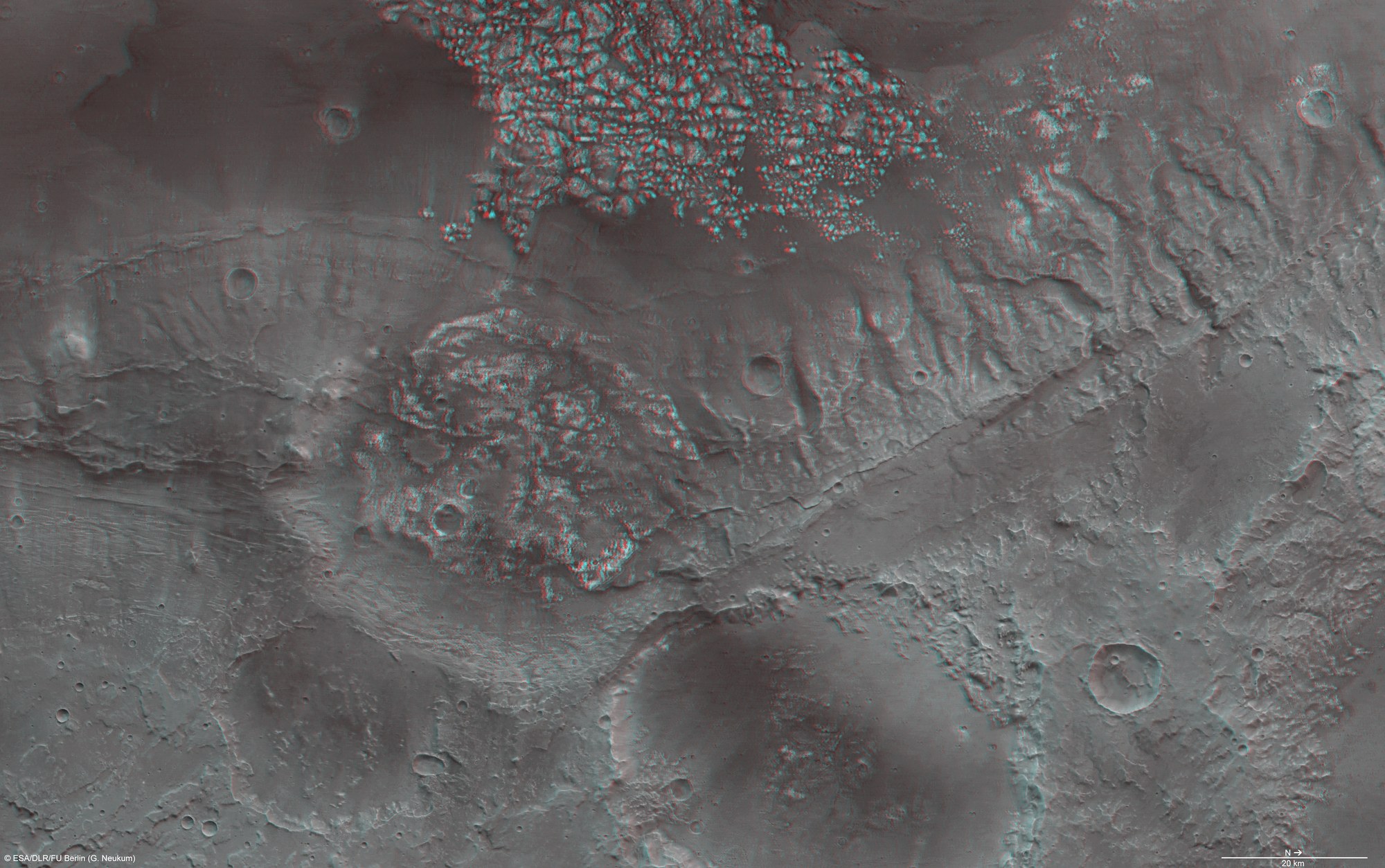
Magellan Crater in three dimensions
Magellan Crater in three dimensions
This three-dimensional (anaglyph) image of the Magellan Crater was acquired from an altitude of 500 kilometres on 6 February 2009 during orbit 6547 and has a resolution of about 25 metres per pixel. The images show an area at 34°S and 185°E. Measuring about 190 kilometres by 112 kilometres, the area shown covers about 21,280 square kilometres, which is about the size of Slovenia. It is to the southwest of the volcanic region Tharsis on the southern highlands of Mars. Data from the nadir channel and one stereo channel of HRSC was combined to produce the image. Stereoscopic glasses are required to see the 3D effect.

