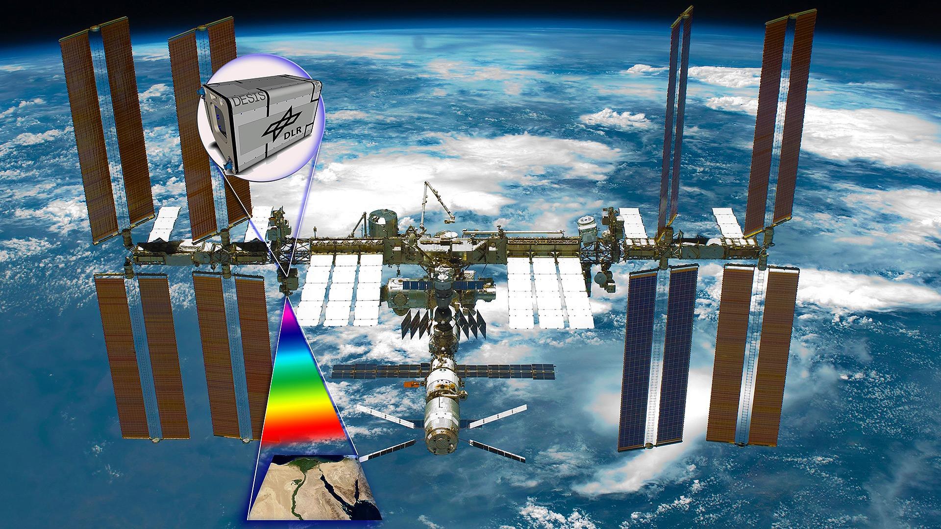
Artist's impression of DESIS on the ISS
Artist's impression of DESIS on the ISS
The DLR Earth Sensing Imaging Spectrometer (DESIS) provides hyperspectral data to support scientific, humanitarian and commercial objectives. These data contain information that can be used to assess the situation following an environmental disaster, support farmers in the targeted management of their land and serve scientists as a basis for the development of novel atmospheric correction algorithms.

