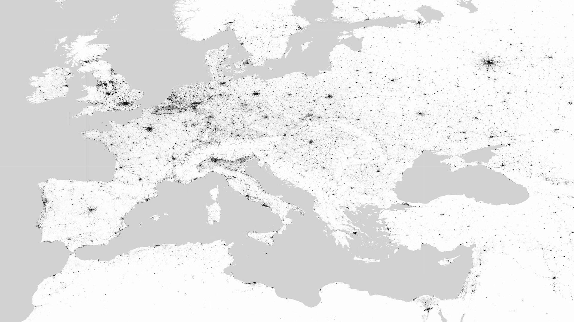
Global Urban Footprint - Europe
Global Urban Footprint - Europe
The team 'Smart Cities and Spatial Development' of the department 'Land Surface Dynamics' at the German Remote Sensing Data Center (DFD) uses Earth observation to provide targeted data and information to support sustainable settlement development and the assessment of environmental and site conditions. The corresponding system solutions aim to automate the acquisition of information from extensive and heterogeneous data sets (Big Earth Data). For this purpose, methods of artificial intelligence (machine learning) and distributed computing in computer clusters are used (high performance processing and data analytics).

