Mass changes in the Southern Patagonian Ice Field revealed by radar
Mass changes in the Southern Patagonian Ice Field revealed by radar
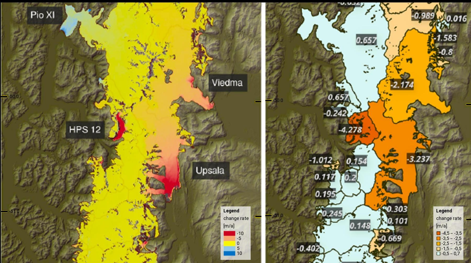
Detail from a map showing the changes in height of the Southern Patagonian Ice Field; the names on the map indicate the most important outlet glaciers. (a) Pixel-based estimation of the mass change over the period 2000 to 2015; (b) estimated average mass change for the area of the glacier catchment area. Elevation models from the Shuttle Radar Topography Mission in 2000 and from the TanDEM-X mission conducted from 2011 to 2015 were used for the analysis.

