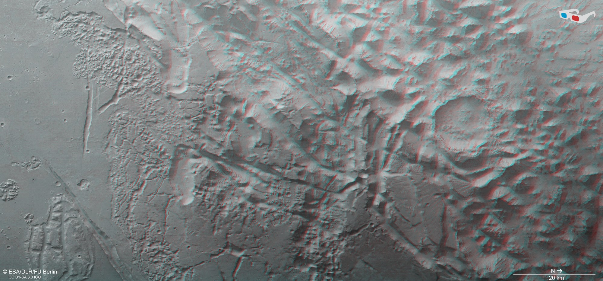
3D view of the transition zone between Margaritifer Terra and Aurorae Chaos
3D view of the transition zone between Margaritifer Terra and Aurorae Chaos
Anaglyph images can be produced from data acquired by the nadir channel of the HRSC camera system, the field of view of which is aligned perpendicular to the surface of Mars, and one of the four oblique-viewing stereo channels. When viewed with red-blue or red-green glasses, these images give a realistic, three-dimensional view of the landscape. North is to the right. In this 3D view, the strongly fissured and furrowed landscape, which has collapsed into itself due to geological processes and erosion by flowing water, stands out particularly clearly. The differences in elevation between the striking promontory that runs from east to west through the centre of the image and the deepest points in the north (on the right of the image) are more than 4000 metres. This is approximately the same as the elevation difference between the peak of Mont Blanc (4808 metres above sea level) and the Po Valley in Northern Italy, which extends eastwards through northern Italy (Turin is 239 metres above sea level).

