Vegetation of the Mackenzie Deltas
Vegetation of the Mackenzie Deltas
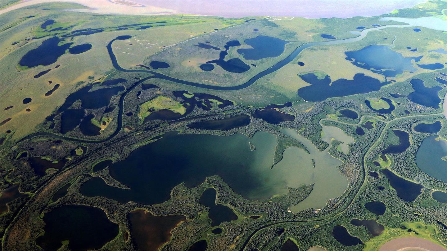
The aerial photograph was taken as part of the ‘Vegetation Transect’ measurements of the PermASAR campaign in August 2018. It shows a glimpse of the area north of Inuvik, towards the Mackenzie River Delta. The Mackenzie River runs through the Northwest Territories of Canada. The main branch of the river is visible at the top of the image.

