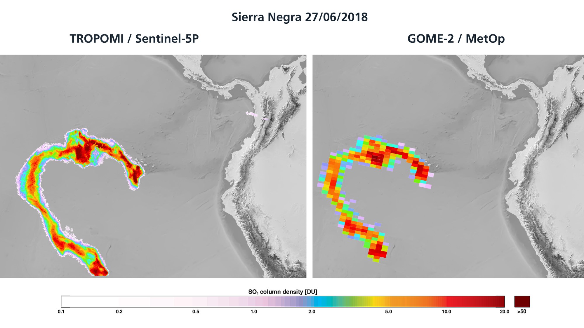
Comparison of resolutions – TROPOMI / Sentinel-5P and GOME-2 / MetOp
Comparison of resolutions – TROPOMI / Sentinel-5P and GOME-2 / MetOp
The TROPOMI instrument on board Sentinel-5P has a spatial resolution of 7 by 3.5 kilometres, surpassing comparable satellites by a factor of 100. For comparison, the graphic shows the spread of the sulphur dioxide cloud from the Sierra Negra volcano on 27 June 2018. On the left is the measurement result from TROPOMI / Sentinel-5P and on the right the result from the EUMETSAT MetOp-A and MetOp-B satellites.
The image contains modified Copernicus Sentinel data (2018), processed by DLR / BIRA.

